|
Scenic USA - Utah La Sal Mountain Loop |

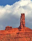
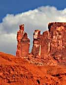
| Photo by Ben Prepelka Castle Valley inset photos by Tom Blanchard |
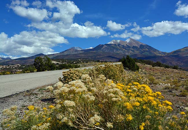
Creating a beautiful backdrop for the town of Moab,  the snow capped La Sal Range covers a large section of eastern Utah where it borders with Colorado. Moab, said to be the gateway to Grand County recreation, is home to Arches National Park, the Canyonlands, Dead Horse Point State Park and the dramatic La Sal Mountains. Rising high above the red-rock canyon country of southeastern Utah, the La Sals add an unequalled dimension to Moab's scenery, showing up in countless Arches and Canyonlands photographs.
While numerous trails provide good hiking and biking outings in the Manti-La Sal National Forest,  its beauty can also be enjoyed by taking the La Sal Mountain Scenic Backway. Cruising through the La Sal Division forest, the byway cuts through a small section of the million and a half acre Manti-La Sal National Forest. Offering views of a varied landscape, the route climbs passed deep canyons, mountain meadows and lakes, topping out among the majestic mountaintops. Beginning on U.S. Route 191, six miles south of Moab, the byway climbs through sandstone canyons and timbered slopes on the way up to the mountaintops at 12,000 foot elevation. Here on Forest Road 62 the cool mountains and lush greenery provide a stark contrast to the hot, red-rock desert landscape just below in Castle Valley. Continuing north on Castle Valley Road, the byway ends on Route 128 about 18 miles out of Moab.
Byway Map

|
Additional Points of Interest |
|
Copyright © 2022 Benjamin Prepelka
All Rights Reserved
