|
Scenic USA - Utah Navajo Dome |

| Photos by Ben Prepelka Ben Prepelka Photography |
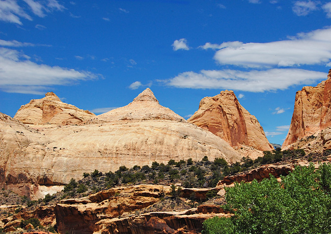
A vast buckle in the Earthís crust,  stretching across south-central Utah, was created by geological forces over 65 million years ago. Called the Waterpocket Fold, this imposing reef contibutes to name Capitol Reef National Park.
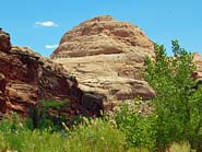
Here in a land of exposed, multi-hued sandstone formations, another landmark completes the other half of the park name. Located alongside the Fremont River, the Capitol Dome (inset) looms over the river valley, sitting high on the edge of Waterpocket Fold.
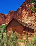
These two features are just a small part of an incredibly diverse park.  Varying from the Mormon settlement at Fruita and petroglyph remnants of the Fremont Culture, these manmade remnants only add more interest to the park's monoliths, mountains and mesas, secluded canyons, its vast array of intriguing rock formations and panoramic views. Stretching from Cathedral Valley in the north, the parklandís long
  and narrow outline follows the Fold for nearly 60 miles until it reaches Glen Canyon National Recreation Area.
A park that begs to be explored over a mixture of hiking trails, and both paved and gravel roads, many artists, photographers and backcountry hikers have been inspired by these landmark formations at Capitol Reef. Pictured above is the Navajo Dome, looking more like the Capitol Dome than the park's namesake itself. This huge deposit of Navajo sandstone was composed of shifting dunes, compressed over time, exposed and sculpted over the ages by wind-blown sand and countless frost and thaw cycles.
Area Map

|
Additional Points of Interest |
Scenic USA Prints from
|
Copyright © 2023 Benjamin Prepelka
All Rights Reserved

