|
Scenic USA - Utah Fremont River |

| Photos by Ben Prepelka Ben Prepelka Photography |
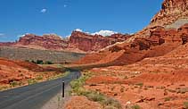
Proclaimed a National Monument in 1937, it took another 34 years before Capitol Reef achieved national park status. Phasing out cattle grazing, purchasing remaining Mormon homesteads and annexing additional land areas proved to be the key problems that took years to mitigate.  Finally, President Nixon signed the park into law December 18, 1971. Made up of nearly a quarter million acres (378 square miles) of Utah's slickrock country, erosion continues to form Capitol Reef National Park's massive domes and cliffs, soaring spires, unique monoliths, narrow gorges, twisting canyons and natural arches.
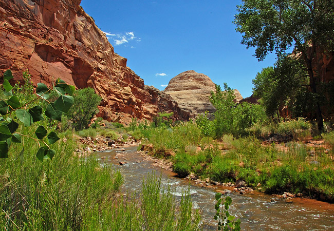
Utah’s Fremont River, fueled by snowmelt from the Wasatch Plateau, begins at Fish Lake. Passing a string of small towns, the Fremont goes on to irrigate acres and acres of arid agriculture land along Route 24.
Ancestral Puebloans, often  called Anasazi, lived along the Fremont for nearly 700 years. The Fremont Culture, a small group of hunter-gatherers, was also known to raise crops in the Fremont Valley. Distinctive basketry (one-rod-and-bundle), gray-ware pottery, leather-made moccasins and petroglyphs indentify this unique culture today.
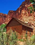
Capitol Reef National Park not only preserves Anasazi storage bins (moki huts) and Fremont Culture period pictographs, but a late 19th Century Mormon pioneer settlement. Homes, barns, an orchard and schoolhouse mark the Fruita Historic District. Set against a towering backdrop of red Wingate sandstone, the schoolhouse was instrumental in introducing the three-Rs to Mormon youngsters. The Fremont River, seen as an oasis in the desert, follows along portions of Route 24 as it passes through Capitol Reef National Park. Here, the Capitol Dome formation towers over the river valley, lending its name to the park.
Area Map

|
More Area Attractions |
Scenic USA Prints from
|
Copyright © 2022 Benjamin Prepelka
All Rights Reserved

