|
Scenic USA - Idaho North Fork of the Payette |

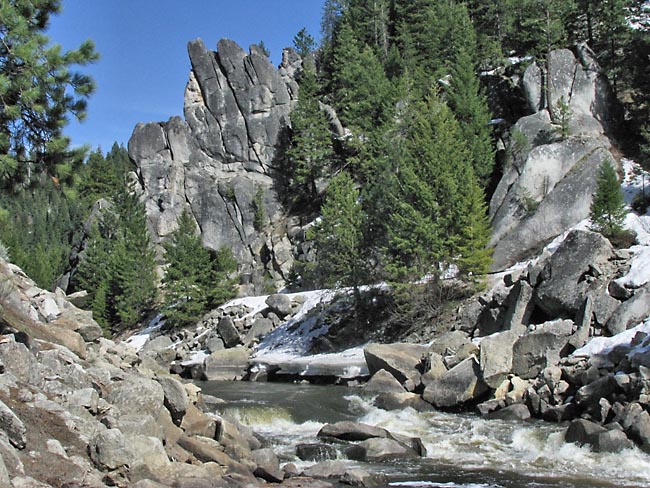
| Photo by Mark Nielsen Independence Rock.org |
Considered as either a warning or a challenge, experts name the North Fork of the Payette River in west-central Idaho one of the most grueling whitewater runs in North America. From the town of Smiths Ferry to Banks, the Payette drops 1700 feet in 16 miles. Paralleling Route 55, this Class V run, with 20 named rapids, tests everyone that paddles it.
Idaho is well known for its scenic beauty, and sightseers find that this section of the Payette River Scenic Byway lives up to those expectations. With its headwaters in the Sawtooth National Recreation Area and flowing through Payette Lake, the river is dammed just north of Smiths Ferry creating Cascade Lake. Southward, the river begins to pick up speed, entering three segments of whitewater. At Banks, the North Fork is joined by the Middle and South Forks, making a dramatic curve at Horseshoe Bend where it heads west into Black Canyon Reservoir. The main river eventually joins the Snake River at the town of Payette, plummeting nearly 8000 feet along its course.
The Payette was named for the French Canadian fur trapper, Francois Payette, who traded in the area during the early 19th century. It wasn't long afterward when the influx of settlers lead to numerous clashes with the local Indian tribes. The Nez Perce War of 1877 was one of many battles, coups, and bloody massacres that continued in the Idaho territory until the end of the century.
Area Map

|
More Area Attractions |
|
Copyright © 2020 Benjamin Prepelka
All Rights Reserved
