|
Scenic USA - South Carolina Cherokee Foothills Scenic Byway |

| Photos by Ben Prepelka Ben Prepelka Photography |
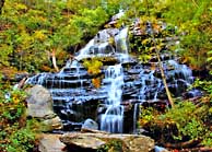
South Carolina's Cherokee Foothills National Scenic Byway parallels  the border with North Carolina from Gaffney, westward to Fair Play and the Sumter National Forest. This 130 mile scenic byway, taking in the Blue Ridge Region of the state, is said to "thrill the soul of the mountain lover." Unlike the remainder of South Carolina, the foothills region is graced with four dozen stunning waterfalls, six unique state parks, and the Native Cherokee's "Great Blue Hills of God." Known as an escarpment to geologists, this rugged area marks the abrupt end of the South Carolina Piedmont and the beginning of the Blue Ridge Mountains, climbing 2000 feet in just a few miles.
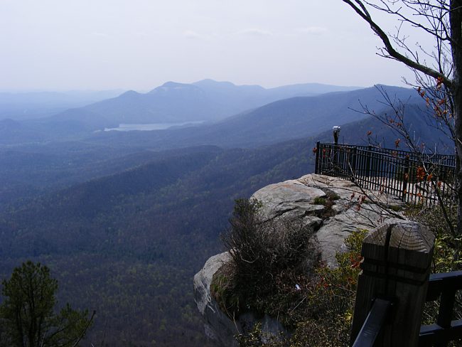
This mountainous view takes in the overlook at Caesars Head State Park, offering a birds-eye-view  of the South Carolina Blue Ridge Mountains. Accessed by a "never-ending" road with countless switchbacks, this short detour from the byway leads to this majestic Blue Ridge panorama. Rising to 3200 feet, the overlook offers a fine view of Table Rock Reservoir, Table Rock, and the Stool and Pinnacle mountains. Nearby, the Devil's Fork State Park provides a great view of Caesars Head. The Mountain Bridge Wilderness Area, Lake Hartwell SRA, and Oconee Station State Historic Site add more attractions and sights to explore in the western section of the Foothills Parkway.
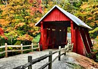
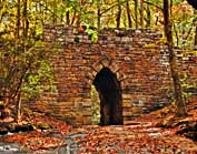
  To the east, bridge aficionados may enjoy a visit to South Carolina's only covered bridge. Here in Greenville County a hillside park surrounds the Campells Covered Bridge, complete with nature paths and storyboards. Another bridge, built of stone in 1820, was an important link on the state's first highway. Just a few miles north of the scenic byway, don't miss the opportunity to check out the Poinsett Bridge Heritage Preserve. More history is unveiled at the Cowpens National Battlefield. Revolutionary War buffs may tour the battlefield over a three mile auto route. A walking trail also marks the sites of major action. If you finish up your byway trip in Gaffney, it'll be hard to miss the Peachoid. The city's peach-shaped water tower which looms over Interstate 85, and recently received a major face-lift after 35 years.
Byway Map

Copyright © 2025 Benjamin Prepelka
All Rights Reserved

