|
Scenic USA - Maine Colonial Pemaquid |

| Photos by Ben Prepelka Ben Prepelka Photography |
One of northernmost English settlements during the early 1600s was established on the Pemaquid Peninsula. A territory also claimed by the French and recent home to Native Americans,  the new settlement fell under frequent attacks. By 1665 the area supported a population of 150 to 200 people, but just a decade later, during King Philip's War, a party of Abenaki Indians burned the village. Even though a wooden fortification was built the following year, the village and fort were destroyed in 1689. Increased efforts by the Massachusetts Bay Colony included the stone Fort William Henry. After a combined force of French and Indians destroyed the town and fort, the settlement was abandoned. Several attempts to reestablish the town during the following century also met with failure, and the site was forgotten during the next 150 years.
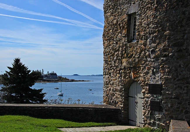
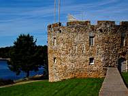
Today the present stone fort is a replica of the Fort William Henry. Under the guidance of historian John Henry Cartland, reconstruction used many of the original stones and followed the lines of the 1692 fortification. The  fort's original walls varied from 10 to 22 feet in height, six feet wide in some places and supported 28 gun ports.
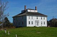
The Fort House, thought to be built by the last commanderís son Alexander Nickels Jr. is located at the top of a rise that overlooks Maine's Pemaquid Harbor. The house was enlarged in the 1800s to its present shape seen today. Friends of Colonial Pemaquid were instrumental in the building's renovation. Today the Fort House features a growing collection of period artifacts and reference material relating to geology, archaeology and history of Colonial Pemaquid. If you're in the area visiting the historic Pemaquid Lighthouse, Colonial Pemaquid State Historic Site is a worthwhile stop.
Area Map

|
Additional Points of Interest |
Scenic USA Prints from
|
Copyright © 2020 Benjamin Prepelka
All Rights Reserved

