|
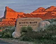
Scenic USA - Nebraska Scotts Bluff National Monument |

| Photos by Ben Prepelka Ben Prepelka Photography |
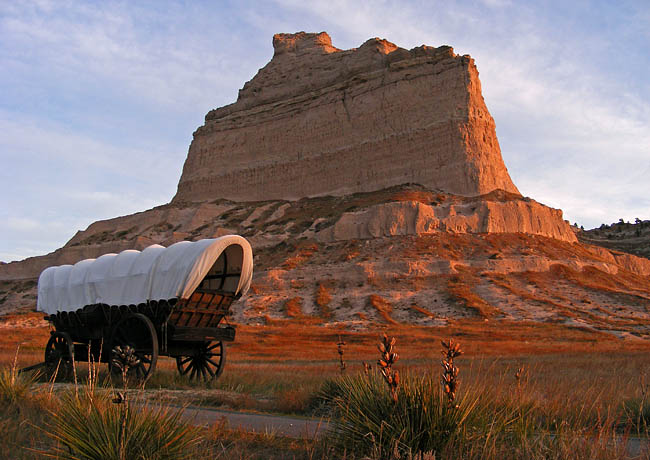
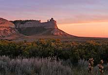
Scotts Bluff, named for a trapper who met his Maker here in 1828, is a prominent 800 foot landmark in western Nebraska near the Wyoming border. Scottsbluff, without the space in the name,  is also the largest city in the Nebraska panhandle, made up of 15,000 residents.
Geologically, the famous ridge is attributed to a hard limestone caprock, protecting the underlying rock formation from erosion. Made up of age old Paleogene Period rock, the layers consist of siltstone, mudstone, sandstone and volcaniclastic sediments. Historically, the bluff stood as a route marker for early emigrants, explorers, prospectors and Pony Express riders. Travelers were guided to this natural landmark along the Oregon Trail, and then made their way through Mitchell Pass and out into the North Platte River Valley. The Scotts Bluff National Monument, a 3000 acre park, preserves both the natural geology and human history of the Scotts Bluff area.
Scotts Bluff hiking trails, open sunrise to sunset year round, are all rated moderate to easy,  except for the strenuous 1.67 mile climb to the top on the Saddle Rock Trail. You may also reach the top of the bluff by driving, an easy way to enjoy great views of the North Platte River Valley, the cities of Scottsbluff and Gering, and Mitchell Pass. Self-guided trails on the summit extend out from the parking area to the North and South overlooks. When standing on top of >Scotts Bluff, even a powerful imagination can scarcely fathom the vast amount land making up the surrounding Great Plains. Considering the mid 19th century exodus to the West, when 350,000 emigrants passed through Scotts Bluff, the 150 year old history also adds to this humbling experience.
Area Map
The Great Plains: From Dust to Dust

|
More Area Attractions |
Scenic USA Prints from
|
Copyright © 2024 Benjamin Prepelka
All Rights Reserved

