|
Scenic USA - Wyoming Whitehorse Creek Valley |

| Photos by Mark Nielsen Mark's Independence Rock |
In Wyoming, the Bureau of Land Management (BLM)  is entrusted with over 18 million acres, a land area eight times larger than that of Yellowstone National Park. Unfortunately all but two million acres have been lost to the development of oil, gas, mining interests and off-road vehicle use. Hoping to save these last vestiges of wilderness lands, the Wyoming Wilderness Association has worked hard to educate and train its members, and strives for an unbiased study of the remaining wilderness. Even though the 1976 Federal Land Policy and Management Act (FLPMA) mandated the BLM would study its lands for wilderness suitability, recommendations never moved forward. Today, much of Wyoming's wilderness land is part of a study area, remaining open to visitation.
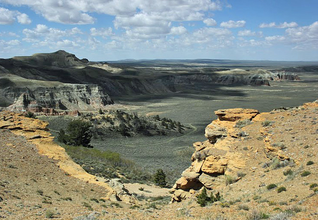
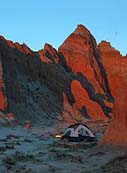
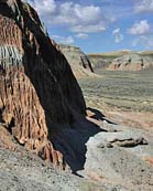
Just south of the Antelope Hills and South Pass on Route 28 lies the Whitehorse Creek Valley and the Oregon Buttes study areas.  In this maze of badlands and sheer cliffs, visitors will marvel at the grand panoramic scenery of the western Continental Divide and the Great Divide Basin to the east. Desert elk, pronghorn and mule deer herds share this great valley with the grouse, bobcat, fox, coyote and pygmy rabbits. Overhead, prairie falcons, eagles, sharp-shinned hawks and great horned owls are often sighted. The cliff walls, stained in reds, greens and grays, harbor ancient fossilized clams and snails. Petrified wood is scattered about, while seeps, springs and riverbanks attract isolated pockets of limber pine and aspen. Endemic plants, such as large-fruited bladderpod, and Wyoming's unique desert elk herd are just a few reasons that this area deserves special protection.
Area Map

|
Additional Points of Interest |
|
Copyright © 2023 Benjamin Prepelka
All Rights Reserved
