|
Scenic USA - Texas Glenrio |

| Photos by Ben Prepelka Ben Prepelka Photography |
Born as a railroad town at the beginning of the 20th century, the Glenrio  stop-over marked the midpoint between Amarillo and Tucumcari. Sitting on the border between Texas and New Mexico, farmers and ranchers welcomed the bustling depot of the Chicago, Rock Island and Pacific Railroad.
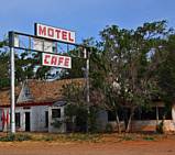
Glenrio residents, as many as 85 at its height, enjoyed advantages of both bordering states. Again connected to the outside world by Route 66, Main Street was lined with cafes, restaurants, motels, a land office, hardware, grocery store, filling stations and a newspaper office.  Deaf Smith County, Texas, was a dry county. For those looking for a drink simply headed across the border into Quay County where a few bars and taverns served the local population. For travelers and locals hoping to fill their gas tanks, New Mexico’s higher taxes insured all the gas stations were right across the border in Texas.
Glenrio suffered a major set-back when the Rock Island and Pacific Depot closed, but with the arrival of Interstate 40, Glenrio was doomed. Although New Mexico’s Anti-Bypassing Law slowed I-40 construction, Slaughter Lane was eventually replaced all the way to Albuquerque. By the time of its completion,  Glenrio’s population had dwindled to just a few residents.
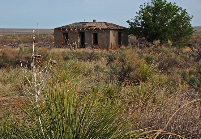
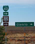
Once the site of the first or last bustling little Texas town, Glenrio rarely stirs today. A small ranching operation is the only activity in the area, except for a few curious ghost town hunters. Its designations as Business Route 40, Old Route 66, and placement on the National Register of Historic Places as a Historic District barely keeps the four lane divided highway from being entirely taken over by weeds. For ghost town hunters and Route 66 fans, this first or last Texas exit (Exit 0) on I-40 (depending on your direction) is a great little find.
Glenrio Map

|
Additional Points of Interest |
Scenic USA Prints from
|
Copyright © 2020 Benjamin Prepelka
All Rights Reserved

