|
Scenic USA - Colorado Silver Thread Byway |

| Photos by Albert Yanowich Jr. Albert Yanowich Photography |
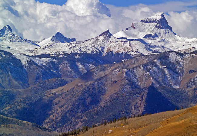
A recent extension of the Silver Thread Byway has added 40 more miles to this dramatic Colorado scenic drive.  Now beginning just west of Gunnison at the Blue Mesa Reservoir, the byway follows Route 149 southward to the towns of Powderhorn and Lake City, continues by climbing over Slumgullion Pass (pictured here). Noted as the steepest, maintained paved road in Colorado, the road passes North Clear Creek Falls, through the historic town of Creede, and ends at South Fork and the junction of U.S. Route 160.
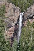
On the southern end of the byway, in Mineral County, byway travelers have the opportunity to track down some of Colorado's most beautiful waterfalls. A few side trips lead to South Clear Creek Falls, Copper Falls, the Phoenix Park Waterfalls, and Treasure Falls. Just off Route 149, near Spring Creek Pass, waterfall fans will find one of the most photographed waterfalls in Colorado, North Clear Creek Falls. 
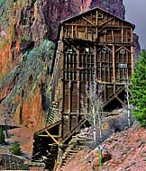
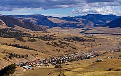
Living up to its name, Mineral County was the sight of massive volcanic activity millions of years ago, allowing vast amounts of ore to collect in the Creede Caldera. Named after prospector Nicholas Creede, the town of Creede joined countless mining town booms during the late 1800s. Centered on a rich vein of silver ore near Willow Creek, the town quickly topped a population of 10,000. Today the entire county lists only 850 full time residents. Here in Creede, byway travelers may be awestruck to see how mining structures hang onto steep mountain ridges. One of the most impressive mountain sites is found just south of town. Here, the Pillars of Hercules rise nearly 1000 feet, part of the dramatic byway scenery. The Creede Historic District  includes shops and an array of eateries that center on the streets where Soapy Smith, Calamity Jane and Bat Masterson once walked. History buffs may want to follow the Bachelor Historic Loop tour, lingering at the Creede Cemetery and an old Catholic church.
Mineral County's San Juan Mountains also give rise to two of the Southwest's major rivers, the Rio Grande and San Juan. Adding plenty of green, the byway also borders on three national forest and two wilderness areas. Not too long ago railfans enjoyed a vintage steam train tour which followed the 1883 Denver and Rio Grande Railroads line where therapeutic hot-springs and fishing were enough to lure in 19th century guests.
CDOT Byway Map

|
More Area Attractions |
|
Copyright © 2024 Benjamin Prepelka
All Rights Reserved
