|
Scenic USA - North Carolina Southport |

| Photos by Betsy Kellenberger |
Although the Cape Fear River extends inland for 200 miles, the name was first used for the treacherous shoals found off the North Carolina coast. Once noted on the map as  the Cape of Feare, mariners were wary of these dangers that extended for miles out to sea from the mouth of the river.
During the 19th century, the Cape Fear River linked the prosperous towns of Fayette and Wilmington. A series of locks and dams allowed steamboats to move goods up and down the river. After the Civil War, the town of Smithville, located at the mouth of the Cape Fear River, purposely changed its name to Southport. In hopes to combine shipping services and nearby railroad transportation, the Southport name was chosen to emphasize its prominence along this shipping lane.  Although the town never received the recognition as a major port, Southport continued to enjoy steady growth over the next century.
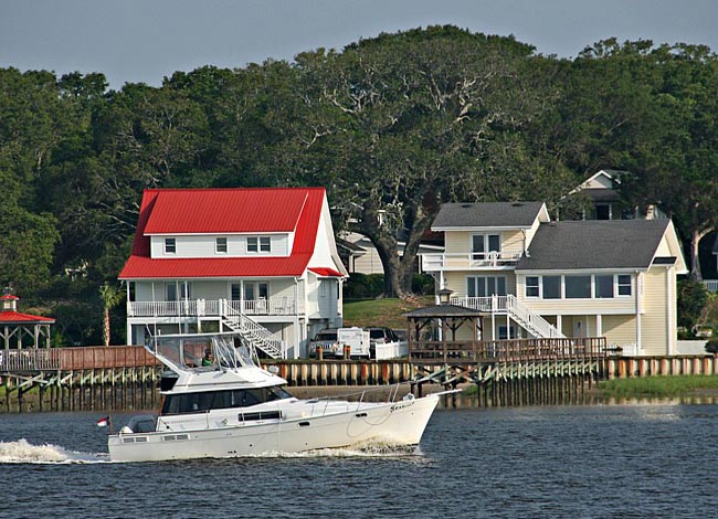
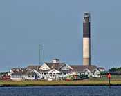
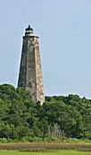
Today, historic Southport is a haven for recreation and tourism. Surrounded by waterways, inlets and barrier islands, Southport lies at the heart of this coastal mecca. Its historic district is lined with art galleries, restaurants and shops, all shaded in columns of ancient live oaks. Along the waterfront, visitors can watch the recreational boat traffic, or catch a glimpse of industrial commerce heading out on ocean-going freighters. The shoals, inlet, sloughs and bays that first earned the Cape Feare name were well marked with four unique lighthouses and a lightship. Price's Creek, Oak Island, Bald Head Island, and Cape Fear lighthouses, plus the Frying Pan Shoals Lightship stood on watch over the shoals for years.
Area Map

|
Nearby Points of Interest |
|
Copyright © 2022 Benjamin Prepelka
All Rights Reserved
