|
Scenic USA - Utah Alstrom Point |

| Photos by Rod Ostoski Rod Ostoski Photography |
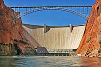
Lake Powell stretches across southern Utah for 168 miles, ending in northern Arizona at the Glen Canyon Dam.  The lake, named for 19th century explorer John Wesley Powell, boasts a 1900 mile shoreline, greater than all of the west coast states (California, Oregon and Washington) combined.
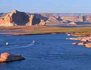
Surrounding Lake Powell, the Glen Canyon National Recreation Area was established in 1972, attracting more than three million visitors a year from all around the world. Canyonland sightseers, hikers, photographers and water sports enthusiasts are all drawn to this high desert lake and its crystal clear waters. Highlighted by magnificent steep canyon walls, surrounded with over a million acres of red rock cliffs and hundreds of side canyons, the Glen Canyon Recreational Area also beckons the 4 wheeling crowd.
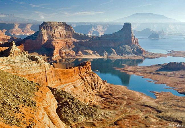
This grand view from Alstrom Point looks out over Gunsight Butte, Padre Bay and the immense Lake Powell.  You may not need four wheel drive here, but the dirt track leading to Alstrom Point may proved hazardous for passenger cars over the last few miles. Reaching this viewpoint may also prove a challenge for those without directions. One possible route from Big Water, Utah, begins on Ethan Allen Street, with a right on BLM road 300 (Google map- NP 230), bearing right at Squaw Canyon. At the next Y, Smoky Mountain Road bears left (north) and NP 230 continues right. South (right) on Rec Road 264, known to some as Alstrom Point Road; but to the Google folks, its labeled as Romana Mesard Road. The track finishes up as Alstrom Point Trail. A good sense of direction or a bit luck maybe needed on this adventure. An extra spare tire, tools and flashlights are also recommended.
Directions and Map
Google Directions and Map

|
Additional Area Attractions |
|
Copyright © 2021 Benjamin Prepelka
All Rights Reserved
