|
Scenic USA - Arizona Marble Canyon |

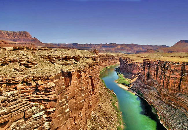
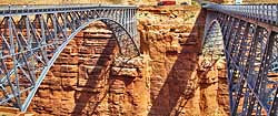
| Photo by Clayton Esterson Clayton Esterson Photography Navajo Bridge inset courtesy NPS |
South of Page, Arizona, Route 89A leads westward alongside the Vermillion Cliffs and on toward the North Rim of the Grand Canyon.  For those yet to visit this side of the Grand Canyon, 89A crosses the Colorado River via the Navajo Bridge. Here, travelers catch a view of the beginning of Marble Canyon, a preview of grander things westward.
Once its own national monument, Marble Canyon was folded into the lands of Grand Canyon National Park. This area south of the town of Lees Ferry and Horseshoe Bend marks the launching point for most Colorado River rafting adventures. Downstream of Lees Ferry, the river begins its 270 mile journey through the canyonlands, dropping over 2000 feet in elevation. Marble Canyon’s colorful, steep-sided walls define a rather narrow gorge that rises sharply from both sides of the river. Canyoneers and anglers hoping to reach river in Marble Canyon head downstream to easier access points from a handful of side canyons, colorfully named Jackass Creek, Sevenmile Draw, Soap Creek Canyon and Badger Canyon. Here, there is no fishing pressure and the native trout are plentiful. Getting to the fishing hole is half the challenge.
Area Map

|
More Area Attractions |
|
Copyright © 2021 Benjamin Prepelka
All Rights Reserved
