|
Scenic USA - New Mexico Sugarite Canyon |

| Photos by Ben Prepelka Ben Prepelka Photography |
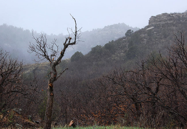
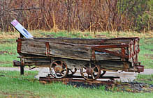
Just south of the Colorado-New Mexico border, Sugarite Canyon State Park occupies the land around an old 20th century mining camp. Located near the transition zone of the Rocky Mountains and the Great Plains, this area's scenery is made up of high altitude mesas, volcanic cinder cones, and basaltic cliffs. One of two seams, the upper layer of bituminous coal attracted miners in 1894. By 1912 the mining town of Sugarite was established. Peaking at 1000 Sugarite residents a decade later, mining activities flourished until the late 1930s.
Today, New Mexico park-goers will find large sections of the park heavily forested.  Cottonwoods and willow trees crowd in beside Sugarite Creek, giving way to ponderosa pine and Gambel oaks up the steep slopes. Altitudes at the park range from 6000 to 8000 feet in elevation, and Douglas fir, white fir and aspens cover the upper north facing slopes. Offering park explorers hiking and horseback riding opportunities, 13 miles of trails follow park streams, through evergreen forests and out to the ruins of the Sugarite mining camp. Little Horse Mesa, the high point of the park, can be reached over a two mile round trip climb. Known for its mule deer, black bear, mountain lions and elk, it's quite possible to spot these larger animals from the broad mesa tops.
Featuring historic coal mines and camps, two lakes, Sugarite Canyon, basaltic rock column climbing and plentiful wildlife, the park’s campgrounds have also been rated among the nation's top ten.
Area Map

|
Nearby Points of Interest |
Scenic USA Prints from
|
Copyright © 2022 Benjamin Prepelka
All Rights Reserved

