|
Scenic USA - Alabama Buck's Pocket |

| Photos by Ben Prepelka Scenic USA FAA Photography |
The National Weather Service compiled its report of Alabama's outbreak of severe weather during April, 2011. An updated survey show 62 tornados in all, with several deadly EF-5 twisters leaving a path of destruction across the state.
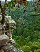
Alabama’s parklands were also affected, with a considerable amount of damage to the Canyon Rim Overlook at Buck's Pocket State Park. Luckily, the lodge was spared and the campgrounds reported no significant injuries. The park's damage, although costly, was nothing in comparison to some of the hardest hit residential areas. Nature offers her reassurance that tree line along the Point Rock Landmark will someday recover.
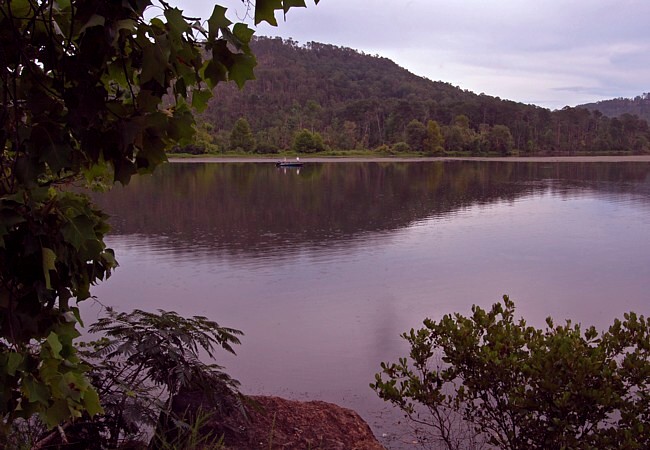
This 2000 acre park is located a natural pocket formed by the South Sauty Creek. Carving a narrow gorge into Sand Mountain, waters from Lake Guntersville Reservoir have now moved into the natural creek bed, providing excellent fishing and boating opportunities. The park also features over 300 campsites, cabins, picnic areas and marvelous views from on top of the bluff line.
No one knows for sure why the area is called Buck's Pocket. Several explanations vary from the local history of a man named Buck, who corralled cattle in the pocket, to tales of a buck that jumped into the canyon, choosing death rather than being taken by hungry Natives.
Area Map

|
Nearby Points of Interest |
Scenic USA Prints from
|
Copyright © 2019 Benjamin Prepelka
All Rights Reserved

