|
Scenic USA - Alabama Russell Cave |

| Photos by Ben Prepelka Ben Prepelka Photography |
Providing the perfect refuge for 15 to 30 people, the archeological evidence at Alabama's Russell Cave offers one of the longest and most complete archeological records in the eastern United States. Thought to be inhabited for over 9000 years, the cave was most likely used as a hunting camp. Some of the oldest artifacts were found more than 30 feet below the cave's present floor level. Archeologists have traced the emergence of pottery, the bow and arrow, and the existence of trade with other nearby tribes.
Today, Russell Cave National Monument remains in a remote region of northeast Alabama. Approaching the park from the north, a winding road for smaller vehicles leads in from Route 156 and South Pittsburg. From the south, access roads travel through rural Alabama farmland.

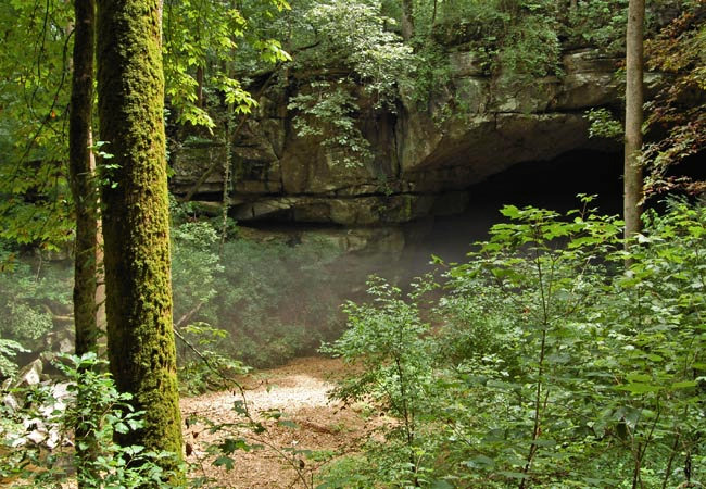
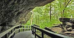
Occupying 300 acres of very porous limestone, a boardwalk safely leads from the visitor center passed hidden drop-offs and sinkholes to the cave. This view captures a cool mist that flows out of the cave on a hot and humid summer afternoon. The cave was formed by an underground stream, steadily carving its way through the porous limestone. With a combined process of silt deposits and ceiling rock-falls, the cave eventually moved up the hillside. Today the cave remains above flood level, some 30 feet above the original cave floor. The initial excavation in 1953 revealed a number of bone tools, jewelry and pottery. The Smithsonian Institution, sponsored by the National Geographic Society, setup another dig in the late 50s, adding more information to archeological record. Some of these artifacts are on display at the park's visitor center.
Area Map

Copyright © 2024 Benjamin Prepelka
All Rights Reserved

