|
Scenic USA - Rhode Island Cliff Walk |

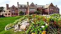
| Photos by Ben Prepelka Scenic USA Photography Rough Point Mansion photo courtesy of the NPS |
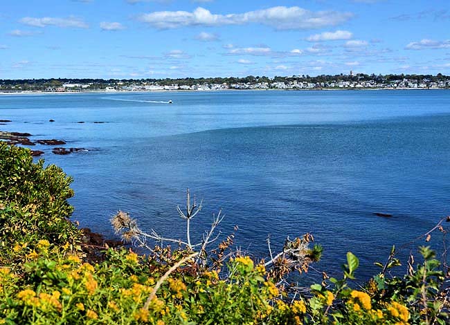
Not only was Newport's Cliff Walk designated as a National Recreation Trail, it also borders on a National Historic District. The public walkway, about three and a half miles in length,  highlights the rocky shoreline and row after row of opulent and iconic mansions which date back to the American Guilded Age. In some places the path is just a few of feet from an abrupt dropoff, an apparent danger for energetic youngsters. A popular spot for walkers and tourists, weekends pose a bit of a problem for parking spaces. Patient drivers may find a spot as many people come and go throughout the day.
What is on display here is the natural beauty of the Rhode Island shoreline, where trees, flowers and plants line the walkway and all types of watercraft cruise up and down Easton Bay. The area, so close to the cooler waters of the Rhode Island Sound and Atlantic Ocean, was a prime get-away for early 19th century millionaires.  Back then the walk was once a dubious agreement between the property owners and the city. Now it's been protected by the combination of long term public use (fiserman's rights) and a passage out of the Rhode Island Constitution that granted the public rights of fishery and the privileges of the shore. Today the Cliff Walk is recognized as a public right-of-way over private property.
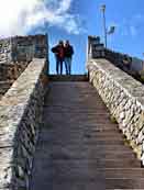
Serious storms and constant weathering have been a constant battle, but the famed Cliff Walk remains as one of the most popular attractions in the city. As a cautionary note, the southern third of the pathway has some rugged areas, south of the famed 40 Steps. Designated rights-of-way to the Cliff Walk area are marked with brass plaques at Webster Street, Narragansett Avenue, Ledge Road, and Ruggles and Seaview avenues.
Area Map
Cliff Walk Map

|
More Area Attractions |
|
Copyright © 2023 Benjamin Prepelka
All Rights Reserved
