|
Scenic USA - North Carolina Max Patch |

| Photos by Ben Prepelka Ben Prepelka Photography |
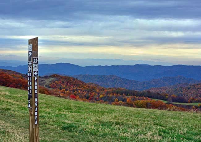
Cleared for used as  a pasture during the 1800s, Max Patch is a 4600 foot bald mountaintop near Hot Springs, North Carolina. Not far from the Tennessee border, the 350 acre parcel of land is perched on a knob which offers visitors a 360-degree panoramic view. One of the more popular settings in the Appalachian Mountains, lately crowds have overwhelmed the parking area and group restrictions are now in place.
On a clear day mountaintop guests are able to see Mt. Mitchell to the east and the Great Smoky Mountains to the south. Off to the east are the Black Mountains. Located deep within the Pisgah National Forest, it's a short climb on foot to the summit from the parking area. Blue blazed trails to the summit also intersection with the white blazed Appalachian Trail and are all well marked.
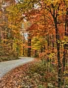
Once a great place for star  gazing and camping, the Forest Service has scaled back access hours for Max Patch. Visitation is slotted between one hour before sunrise and an hour after sunset. Mountaintop wildflowers are the main draw here during the spring. While hikers frequent the mountain throughout the summer months, the autumn season's colorful foliage usually packs in the crowds around the second and third weeks in October. Expect a crowded parking area and minor traffic snarls during these prime seasons.
Area Map

|
Additional Area Attractions |
Scenic USA Prints from
|
Copyright © 2023 Benjamin Prepelka
All Rights Reserved

