|
Scenic USA - Florida Lazy River |

| Photos by Ben Prepelka Ben Prepelka Photography |
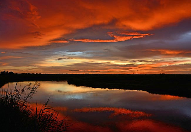
Following more than half of Florida's  eastern coast, the Saint Johns River is the state’s longest inland waterway. Its riverbanks were occupied for centuries by Native Americans until the area became the focus of Spanish and French interests after its discovery in the 1500s. During that period, the St. Johns River took on many names, but none that best describe its lazy river nature. Rising in the interior wetlands on an east-coast ridge, the river drops only 30 feet over its 310 mile trip northward to Jacksonville.
Named as one of President Clinton's American Heritage Rivers in 1998, the St.  Johns was also included as one of America's Ten Most Endangered Rivers just 10 years later. Polluted with agricultural and residential herbicides, fertilizers and pesticides, the St. Johns River cleanup became the focus of the St. Johns River Management.
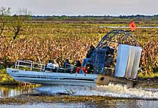
Fed by rainwater,  the river expands and contracts over a broad river basin. Here in the Canaveral Marshes Conservation Area in central Brevard County, the river functions as a storage area, growing from a scant 25 foot wide river channel, to a broad three mile wide marshland in the wet summer months. Access to this conservation area is limited to bicycles, horseback riding, boats and by foot. These central Florida district lands, totaling 700,000 acres, provide a wealth of recreation opportunities.
Area Map

|
More Area Attractions |
Scenic USA Prints from
|
Copyright © 2025 Benjamin Prepelka
All Rights Reserved

