|
Scenic USA - Colorado Upper Arkansas River |

| Photos by Ben Prepelka Ben Prepelka Photography |
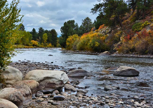
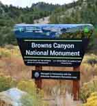
Colorado's Chaffee County,  located on the slopes of the Rocky Mountains, has more 14,000 foot peaks and spectacular mountain scenery than most other regions in the state. Its western border loosely follows the Continental Divide and gives birth to the sixth longest river in America. The Arkansas River headwaters begin nearby one of the highest towns in the world, Leadville. As the Arkansas rushes southward, the river skirts the Collegiate Peaks Scenic Byway, and drops 4600 feet over 120 miles. Here in the state, the Arkansas cuts through Brown's Canyon and further eastward at Royal Gorge, creating some of the state's most exciting whitewater runs.
South of Nathrop, the river skirts the Arkansas Headwaters Recreation Area as it follows UT 291. At Salida, the  Arkansas begins to follow U.S. Route 50 as it heads eastward to the Colorado plains. Beyond the Colorado border, the river passes through three more states on its 1450 mile journey to the Mississippi River.
This view captures the Upper Arkansas, mostly recognized for its whitewater rafting, fishing and kayaking adventures. In the spring and summer, the Arkansas Headwaters Rec Area provides rapids that vary from wild to mild. By October, in the dry season, the Arkansas has slowed considerably, but remains a great area for fishing, hiking, camping and wildlife watching.
Area Map

|
More Area Attractions |
|
Copyright © 2024 Benjamin Prepelka
All Rights Reserved
