|
Scenic USA - North Carolina Linville Gorge and Falls |

| Photos by Ben Prepelka Ben Prepelka Photography |
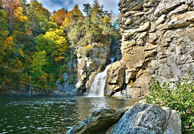
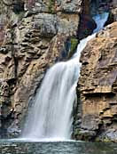
A 2000 foot deep canyon on the eastern slope of the Blue  Ridge Mountains offers strong evidence of the awesome power of the Linville River. Hemmed in by Jonas Ridge and the Linville Mountains, the 12 mile gorge was the first wild area preserve east of the Mississippi. The Linville Falls, dropping just over 100 feet,
  signals the beginning of North Carolina's Linville Gorge.
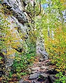
Impossible for loggers to pull out timber, the forests on the steep-sided canyon remain unmarred. The gorge, deepest in the eastern United States, is just a small part of the 12,000 acre Linville Wilderness Area. A vast network of gorge trails can be accessed from the Blue Ridge Parkway (MP 316) visitor center at the Linville Falls area. Other trails are located along the Kistler Memorial Highway (NC 1238) on the west rim, and Forest Road 210, Old Gingercake Road (SR 1264) on the east rim. The Erwin View Trail leads to three overlooks, complete with breathtaking overhead views of the weathered granite gorge and the thunderous falls. The Plunge Basin Trail, a rugged path into the valley, offers a vantage point along the Linville River, as seen in this Linville Gorge view.
Area Map
Basic Trail Map

|
More Area Attractions |
Scenic USA Prints from
|
Copyright © 2024 Benjamin Prepelka
All Rights Reserved

