|
Scenic USA - Oklahoma Cimarron River |

| Photos by Ben Prepelka Ben Prepelka Photography |
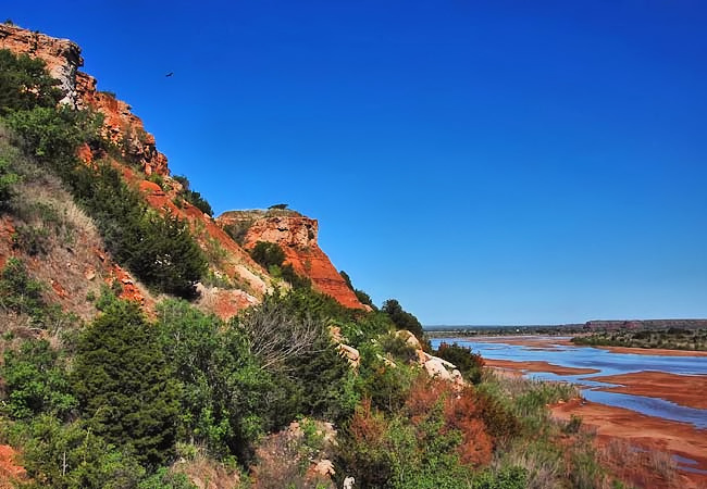
Once known as the Red Fork of the Arkansas and also dubbed Rio de los Carneros Cimarron by the first Spanish explorers, the Cimarron River weaves its way through four states and flows for 698 miles.  From its starting point in Johnson Mesa near Folsom, New Mexico, the river heads toward the Oklahoma Panhandle. Here in this arid region of the Southwest, the river disappears under the red sandy river bed. As the Dry Cimarron River crosses the border into Colorado and Kansas, it leaves Black Mesa (the highest point in Oklahoma) and heads toward the Cimarron National Grassland. Dependant on local rain, the river often springs to life, turning a brilliant red from silt and mud. By the time the Cimarron arrives at Keystone Lake, back in Oklahoma, it has turned into a broad river, filled with sandbars and small rivulets.
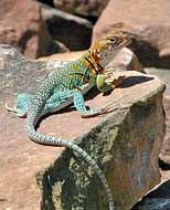
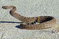
Depending on its flow rate, the Cimarron offers a lazy paddling excursion. This scenic section of the river nearby U. S. Route 64 and the town of Freedom offers an inspirational look at Cimarron scenery  and red rock hills. Sparsely covered in a mix of sand sagebrush, sand plum and sumac, the high bluff line also hosts an occasional cottonwood, hackberry, salt cedar and western soapberry. Although deer, turkey, and pheasant are limited in numbers, western diamondbacks, prairie rattlesnakes, Texas horned lizards and eastern collard lizards are common prairie dwellers. High salinity and long periods of low flow limit any significant numbers of game fish.
Aside from the riverís headwaters in the New Mexico mountains, where brown trout catches are exceptional, Oklahoma's section of the Cimarron is best left to the paddler.
Area Map

|
Other Area Attractions |
|
Copyright © 2021 Benjamin Prepelka
All Rights Reserved
