|
Scenic USA - Utah Scenic Highway 12 |
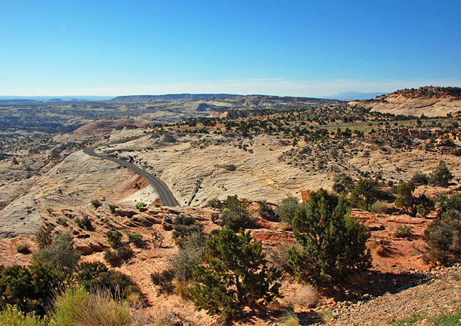
| Photos by Ben Prepelka Scenic USA FAA Photography |
Some of Utah's most colorful high desert scenes are found on Route 12, the perfect formula for a scenic byway.  One of Utah's eight All American Roads, the 122 mile byway connects Panguitch at U.S. Route 89 with Torrey at Route 24. Linking two outstanding National Parks, Bryce Canyon and Capitol Reef, this byway adventure may take a few days of casual sightseeing just to experience the highlights.
 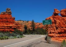 Snaking along the mountain ridge-tops, through Red Rock Canyon tunnels, and past ancient Native American ruins and petroglyphs, this byway follows one of the last sections of America to be mapped. Itís rugged, wild and often breathtaking!
Starting off in the town of Panguitch, it's not long before the byway climbs through the amazing Red Rock Canyon and the Dixie National Forest on its way to the fairyland of hoodoos and rock spires at Bryce Canyon, a destination of its own. Now turning in a northerly direction from Henrieville and Kodachrome Basin State Park, the byway continues through the Grand Staircase Escalante National Monument. 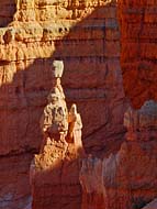 Often called the Million Dollar Road, today's section of Route 12 follows Powell's 1872 expedition from Henrieville to the Head of Rocks, east of Escalante. To illustrate the ruggedness of the Kaiparowits Plateau, as late as 1940 Boulder still received its mail by mule train. In 1935, Civilian Conservation
 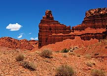 Corps crews began a five year project to construct this section of Route 12. Their backbreaking efforts, aided by tons of dynamite, completed this awesome section (main photo) of the byway.
Continuing on, the byway passes the Calf Creek Recreation Area, Anasazi State Park, Hell's Backbone Road, the Box Death Hollow Wilderness Area and Boulder Mountain. The byway ends at Torrey where the western section of Capitol Reef National Park begin.
Byway Map

|
Additional Points of Interest |
Scenic USA Prints from
|
Copyright © 2021 Benjamin Prepelka
All Rights Reserved

