|
Scenic USA - Wyoming Shell Falls Interpretive Site |

| Photos by Ben Prepelka Ben Prepelka Photography |
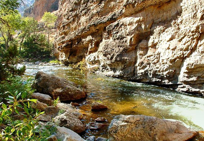
In the heart of Wyoming's Big Horn Mountains, Shell Creek weaves its way down through deep canyon walls of flathead sandstone and granite.
 Here in Shell Canyon visitors sometimes find the creek in a noisy rush, other times in a slow steady stream. All along the creek curious sightseers marvel at wonderful canyon views and Big Horn Mountain grandeur looming overhead.
Spread throughout the Bighorn National Forest, the Trapper, Beaver and White creeks all merge with Shell Creek and flow toward the Bighorn River, creating the core of the Big Horn Basin.
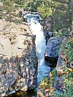
As U.S. Route 14 passes through the Bighorns it bears the designation as the Bighorn Scenic Byway. One of the first stops from the west is Shell Falls about 11 miles from the town of Shell. Located about halfway through Shell Canyon, byway travelers find the waters of Shell Creek funneled through a narrow chasm, creating the spectacular 120 foot Shell Falls. Sometimes flowing as much as 3600 gallons per second, depending on the time of year, the thunderous falls can be heard well before it's seen.
Once known as Dakota Territory, Shell Canyon and the Bighorn National Forest are both a big part of Native American history. Along with the colorful past of the Crow, the Sioux, Northern Cheyenne and Arapaho, sightseers may enjoy the Medicine Wheel Passage just to the north. This Wyoming byway follows Route 14A and highlights area waterfalls, more majestic mountain views and the byway's namesake, the Medicine Wheel.
Area Map

|
More Area Attractions |
|
Copyright © 2024 Benjamin Prepelka
All Rights Reserved
