|
Scenic USA - Oregon Sherars Falls |

| Photos by Denny Barnes Denny Barnes Photography |
Seen as a threat to American settlers moving westward, a series of treaties in the mid 1800s established a 600,000 acre reservation for the Warm Springs and Wasco Tribes. Giving up nearly 110 million acres in the Columbia Plateau, the reservation stretched from the Cascade Range to the palisades of the Deschutes River. Two additional tribes were also relocated to the Warm Springs Reservation in the late 1800s.
A century later, all three tribes officially formed a confederacy, adopted a constitution and became the Confederated Tribes of the Warm Springs Reservation. Today, the Confederacy welcomes visitors to come and enjoy this beautiful area of high desert. With snow-capped peaks present in the background, guests may take in a round of golf, try their luck at the casino or relax at the Kah-Nee-Ta Resort. The tribes host cultural events throughout the year, including dancing, drumming, storytelling and a salmon bake. For those that enjoy the outdoors, hiking, biking, fishing and rafting in the Deschutes corridor offer plenty of recreation experiences.
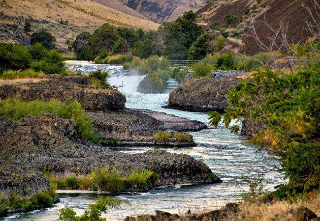
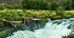
Here on the reservation, Sherars Falls is the last waterfall on the Deschutes River before it joins the Columbia River.  A powerful cascade, the river is pushed through a narrow horseshoe shaped chute. Located just above Sherars Bridge, the falls were named for a local, Joseph Sherar. Located on tribal land, you may arrive at a time when natives fish for salmon from make-shift scaffolds and platforms. Using dip nets and set nets, local tribal members carry on ancient fishing methods. For the sportsman, an area day-use permit is required for entry onto tribal land.
Area Map

|
More Area Attractions |
|
Copyright © 2024 Benjamin Prepelka
All Rights Reserved
