|
Scenic USA - Michigan Tahquamenon Falls |

| Photo by Ken Reece Ken Reece Photography Tahquamenon Falls inset courtesy Michigan DNR |
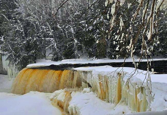
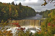
Two of Michigan’s most dramatic waterfalls create a lasting impression for nearly a half million people each year. Located in the remote Upper Peninsula, the Tahquamenon Falls State Park covers 45,000 acres of wild territory and incorporates both upper and lower falls, 24 miles of the Tahquamenon River and 13 pristine lakes. Most of the park is undeveloped woodland, unscarred by roads and power lines. The park is a sanctuary for a wide variety of birds and large mammals that include wolves, moose and bear. This blackwater river, lined with cedar, spruce and hemlock,  is stained an iced-tea color by tree tannins. In this icy view of the upper falls, its stained water stands out against the snow-covered shores. Here, the falls spreads out nearly 200 feet wide, and drops in thunderous and endless roar.
In this land of Longfellow’s Hiawatha and home of the Ojibwa for so many years, the thick forest gave in to profit takers. By the mid 1900s, lumbering camps were spread throughout, leaving behind a graveyard of stump markers. At the time when Barrett’s Logging Company established Camp 32, the Tahquamenon Falls area was only reachable by boat. The Barretts constructed a road to the falls and offered the land to Michigan’s Department of Natural Resources. Today, despite its remote location near Whitefish Point, Tahquamenon Falls is Michigan’s 2nd largest park and also one of the most popular.
Area Map
Park Map

|
Additional Area Attractions |
|
Copyright © 2024 Benjamin Prepelka
All Rights Reserved
