|
Scenic USA - Washington Paradise River |

| Photo by Terri Prepelka |
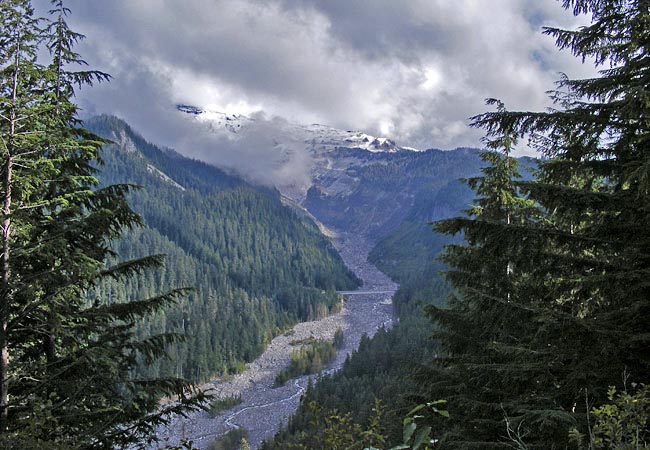
Dominating the landscape in Washington's Mount Rainier National Park, the iconic mountain stands nearly three miles higher than the surrounding lowlands. Still considered an active volcano, Mount Rainier is the most glaciated peak in America's Lower 48. Encircled by 25 named glaciers, Rainer's ice fields feed six major rivers.
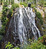
Taking up more the 235,000 acres of parkland, park roads provide access to only three percent of this wilderness land. Open from late May to early October, three main roads bear the park's 200,000 yearly visitors. Developed to limit impact on the environment, narrow park roads provide stunning mountain views and access to numerous visitor centers, hiking trails and campgrounds. This dramatic view looks down upon a tiny ribbon, officially called Paradise River.  Cut by glacial runoff, Paradise River Valley receives its water from Paradise Glacier and neighboring Nisqually Glacier. Collecting as much as 700 inches of snow a year, one can imagine the torrents of rushing snowmelt in the summer. Beginning on the lower slopes of Mount Rainier, the Paradise River heads southward, cascading down the two-tiered Narada Falls. From a pullout, a pathway leads down to the lower falls (inset) as it branches out from a thin horsetail falls into a broad bridal-veil that plunges an estimated 241 feet.
As the Paradise River continues on to join the Nisqually River, it creates two more waterfalls. Considered to be an easy trail, the Madcap Falls and Carter Falls day hike can be a great way to experience some of the grand scenery of Mount Rainier National Park.
Area Map

|
More Area Attractions |
|
Copyright © 2024 Benjamin Prepelka
All Rights Reserved
