|
Scenic USA - Florida Fort De Soto |

| Photos by Ben Prepelka Ben Prepelka Photography |
Here on Florida's Gulf Coast a thin ribbon of shifting sand extends southward from Gulfport to Mullet Key.
 These bay islands, or keys, overlook the northern entrance to Tampa Bay. This vantage point has always attracted military interest since the initial days of the Civil War. Fortification of this point began during the Spanish-American War and saw heavy reinforcement with walls as thick as 20 feet.
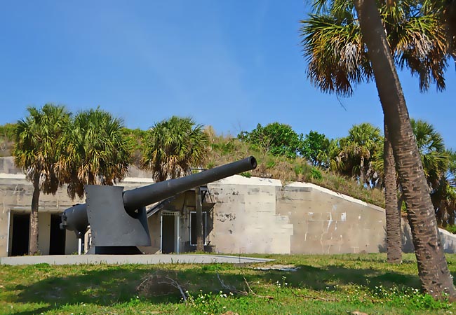
Protected by high sand dunes and concrete walls,  Fort De Soto displays four rare 12 inch mortars and two 6 inch Armstrong guns. Most of the fortifications are gone, due to erosion and hurricane storm surges, but the Laidley Battery remains. Although the fort failed to see any war-time action, the Laidley Battery was a good example in modern land-based fortification. Fort De Soto was added to the National Register of Historic Places in 1977.
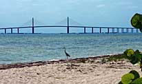
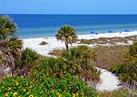
Now surrounded by a large swath of prime beach-front land, Fort De Soto and Mullet Key  see millions of visitors every year after the completion of Pinellas Bayway. Not all visitors headed to the 1130 acre park are history buffs, enamored with big guns and Fort De Soto history. The big draw here is three miles of beautiful white sand beach, voted top beach and Number 1 Beach in the nation several times. The Pinellas County park and Fort De Soto Beach entertain over three million visitors a year. Fishing piers, a 230 site campground, floating docks, camp store and concession stands add to its popularity.
Area Map

|
More Area Attractions |
Scenic USA Prints from
|
Copyright © 2025 Benjamin Prepelka
All Rights Reserved

