|
Scenic USA - New Mexico Enchanted Circle Byway |

| Photos by Ben Prepelka Scenic USA FAA Photography |
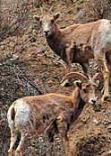
 Located in the north-central section of New Mexico, the Enchanted Circle Scenic Byway creates an 84 mile loop around the Carson National Forest, the Taos Pueblo Indian Reservation and the state's tallest mountain peak. Heavily influenced by the Sangre De Cristo Mountain Range, this high altitude byway is noted for its ski resorts, dramatic mountain views, charming mountain towns and abundant forest wildlife.
Beginning at Taos, and traveling counter-clockwise, the byway follows U.S. Route 64 to the east, passing the town of Shady Brook and the ski resort town of Angel Fire. Located near Angel Fire, the Vietnam Veterans Memorial started as a personal tribute to Victor and Jeanne Westphall's son.  Honoring 16 men lost in a battle near Con Thein, the Memorial has blossomed into a tribute to all members of the U.S. Armed Forces.
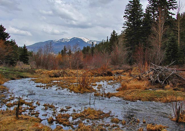
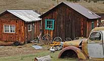
Attracting anglers, boaters, campers and wildlife enthusiasts, Eagles Nest State Park is centered on a 2400 acre lake in the scenic Moreno Valley. Just about four miles north of Eagles Nest, byway travelers (now following Route 38) must stop and take a good look around the spooky ghost town of Elizabethtown (inset). Looking as if everyone just walked away from E-Town, plenty of interesting tidbits remain from the gold rush days. A small sign posted under a windmill is your only clue to the ghost town, so keep one eye on the right side of the road. As Route 38 begins to head westward, byway visitors will climb through Bobcat Pass. Just beyond the pass, a short spur climbs up Route 578 to the Wheeler Peak Wilderness area. At the top of the Circle, you may be ready for lunch at one of the eateries at  Red River area. Westward, travelers will follow alongside the Red River (main photo) and some of the best chances to see Carson National Forest wildlife.
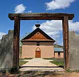
Reaching Questa, the byway turns southward on Route 522 where you may want to look up a few of the well preserved Taos churches (see Link below). Here at Arroyo Hondo, just 12 miles from the byway starting point at Taos, visitors find the Nuestra Senora De Los Dolores Church (Our Lady of Sorrows - inset) built in the 1830s. Following a ten year restoration taken on by local parishioners, the chapel appears in remarkable condition. Requiring about four hours driving time on this scenic route, you may want to plan for a whole day to take in all the scenic sights and attractions along this enchanting byway.
Enchanted Circle Byway Map

|
Nearby Points of Interest |
Scenic USA Prints from
|
Copyright © 2022 Benjamin Prepelka
All Rights Reserved

