|
Scenic USA - Virginia Burke's Garden |

| Photos by Ben Prepelka Ben Prepelka Photography |
Moving westward from Virginia's coast,  the state's topography begins to change subtlety at first. Nearing the Appalachian Mountains in the west, inland rolling hills quickly transition to high mountain ranges, stacking up to 5000 foot heights. Late 18th century pioneers moved into western frontier zones, taking advantage of its fertile valleys and little competition. Their livelihoods revolved around small farms, raising livestock and a wide variety of crops. During the events leading up to the Civil War, these western Virginia families found it difficult to side with a secession movement,
  feeling no connection with large plantation owners. The local communities were self sufficient, relying on the barter system, finding their way of live far different from the large plantations using slave labor. The heavily populated eastern section of Virginia voted to join the Confederacy. Soon afterward Virginia's western region revolted and became the state of Kanawha, later becoming West Virginia.
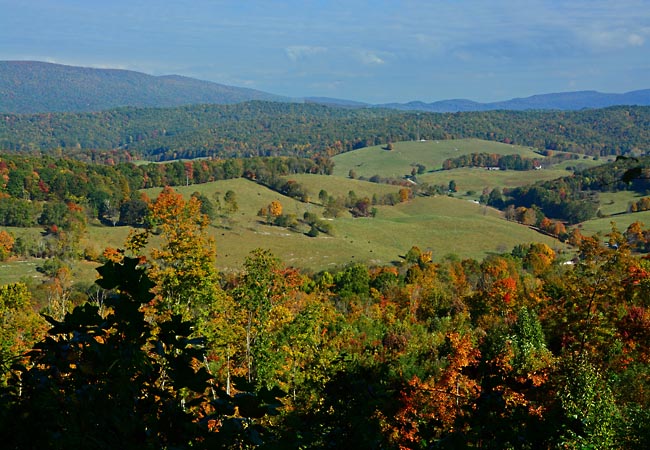
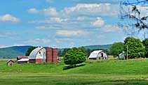
This high elevation view looks out over a fertile valley of Virginia's Heart of Appalachia. To the northwest from Big Walker Lookout is Burke's Garden, noted by  some as "God's Thumbprint." There is only one main road into Burke’s Garden, an isolated community of nearly 300 residents. Surrounded by mountains, from above it appears that a giant pressed his thumb into the landscape and created this high elevation, hidden valley in Tazwell County. Local residents enjoy a peaceful life, unencumbered by shopping malls, highway bustle, and traffic lights. It's mainly a farming community, where families rely on neighbors for support and a helping hand.
Area Map

|
More Area Attractions |
Scenic USA Prints from
|
Copyright © 2024 Benjamin Prepelka
All Rights Reserved

