|
Scenic USA - California Lake Shasta |

| Photos by Ben Prepelka Ben Prepelka Photography |
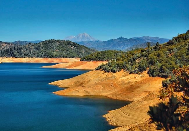
Taking advantage of the heartland's rich soils, the Golden State's economy gets a huge boost from its agriculture industry. Here in the Sacramento River Valley the Shasta Dam created a 30,000 acre lake. As the state's largest reservoir, Lake Shasta provides water and electricity for millions of people. The reservoir waters not only irrigate crops, but also entice sightseers, boaters and anglers.
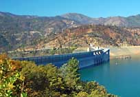
The Shasta-Trinity National Forest is the largest National Forest in California, capturing the beauty of northern California's Castle Crags, Chanchellulla, Mount Shasta, Trinity Alps, and the Trinity River. This Lake Shasta view takes in all three Shastas, the lake, the dam area, and a faint glimpse of Mount Shasta in the distance. The Shasta Dam Vista Point overlooks Shasta Dam and Fisherman's  Point. Combining the waters of the Sacramento, Pit and McCloud rivers, Lake Shasta's cool waters offer the perfect summer venue for water-skiing, tubing and wake boarding. Located in the largest nesting area on one reservoir, bald eagles, osprey and migratory birds delight the lake's human visitors.
It's difficult to mention Shasta Dam without offering a look at the dark side of the Lake Shasta story. When Shasta Dam was constructed, members of the Winnemem Wintu tribe were forced from their homes on the McCloud River, making way for the new reservoir. Shasta Dam not only submerged their villages but most of their most sacred places and burial plots. Today the Winnemem Wintu, divided into several political groups, are seeking federal recognition.
Free Shasta Dam tours are available on a first come basis. From I-5 take Exit 685 and head west on the very scenic Route 151.
Area Map

|
More Area Attractions |
Scenic USA Prints from
|
Copyright © 2020 Benjamin Prepelka
All Rights Reserved

