|
Scenic USA - Oregon White River Falls |

| Photos by Denny Barnes Denny Barnes Photography |
America's western mountain ranges pose a long line of formidable barriers  for east-bound precipitation, creating an arid climate in eastern Washington, Oregon and California. In this land of extremes in the Pacific Northwest, the Columbia Plateau is made from one of the youngest lava flows ever to appear on earth. Covering more than 60,000 square miles, this basaltic crust is still evident in the arid plateau.
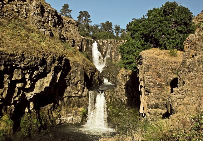
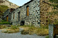
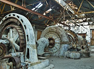
Here in the midst of this arid land is a bright green stripe along the White River Valley. One of hundreds of rivers and creeks that carve up the lava encrusted area, the Wild and Scenic White River shows off its own power, slicing through a basaltic shelf. Located about 35 miles south of The Dalles, the White River Falls State Park offers a pleasant retreat in the Columbia Basin. The park surrounds the White River Falls as it plunges 90 feet in a two-tiered cascade. An oasis in the desert, the site is set up for picnicking, hiking and fishing. Remnants of an old mill and a modern power plant relate the recent history of man's attempts to harness the river's power.  A steep quarter mile trail leads down to the base of the falls, offering plenty of full waterfall viewpoints. Built in 1910, the power plant supplied power to Wasco and Sherman Counties until 1960.
Part of the Deschutes River Corridor, the White River gets its start in the Cascade Mountains where the majority of precipitation is dumped in record amounts of snowfall. Among some of the snowiest places in United States, slow releases of this area's snowmelt provide the eastern half of the state with a precious resource. One that's always a joy to watch as it provides the punch in area waterfalls.
Area Map

|
Other Area Attractions |
|
Copyright © 2023 Benjamin Prepelka
All Rights Reserved
