|
Scenic USA - Wyoming Chief Joseph Scenic Byway |

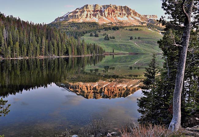
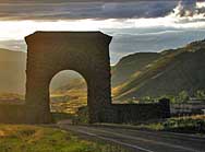
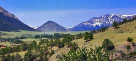
| Photo by Ron McEwen Inset photos by Mark Nielsen and Chris Henn |
Linking Cody, Wyoming, with the North Gate of Yellowstone, the Chief Joseph Scenic Byway weaves its way through the northern section of the Shoshone National Forest and  the Absaroka Mountain Range. Tracing Route 296, this area holds the distinction of being the nation's first forestland to be set aside as a reserve. Setting America on a new direction, President Benjamin Harrison issued his proclamation in 1891 for the establishment of Yellowstone Park Timberland Reserve. The name was changed in 1945 to the Shoshone National Forest, and today this reserve holds 2.5 million acres of timberland.
The scenic byway follows the route taken by the Nez Perce Indians in 1877 as Chief Joseph hoped to elude the U.S. Cavalry and escape into Canada. Caught just 30 miles from the Canadian border, the tribe was forced onto a reservation in Oklahoma. Here, the Absaroka Mountains put on a spectacular show of scenery, with dozens of mountain peaks rising over 12,000 feet. The best seasons to drive this highway are during the fall and summer, allowing at least an hour's driving time. Byway travelers will find the high point of the byway at  Dead Indian Pass, just a little over 8000 feet in elevation. From a pullout, breathtaking views not only take in the Absarokas but the distant Beartooth Mountains as well. Beyond the pass, the byway follows Clark's Fork Canyon.
Keep in mind the byway bisects wilderness country, where sightings of grizzly bears, black bears, mountains lions, and wolves are not uncommon. There are four campgrounds located along the highway, including Crazy Creek, Hunter Peak, Fox Creek and Dead Indian. While many believe this to be one of the most scenic drives in America, remember the area is remote and the facilities are very limited.
Area Map

Copyright © 2024 Benjamin Prepelka
All Rights Reserved
