|
Scenic USA - Oregon Hood River Valley |

| Photos by Ben Prepelka Ben Prepelka Photography |
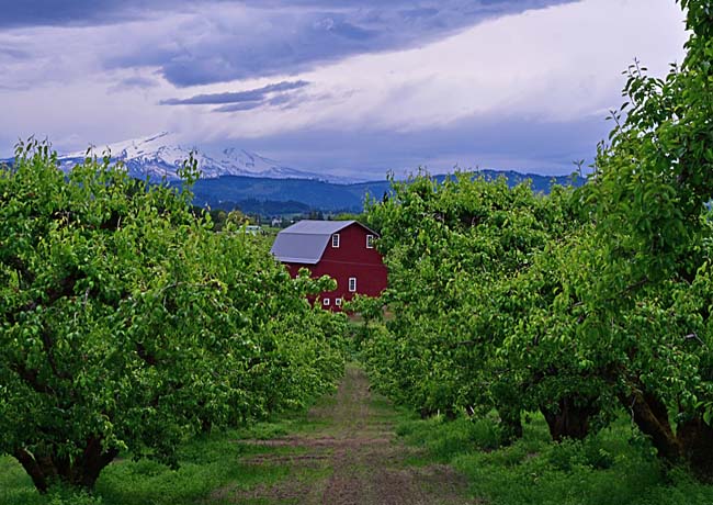
Since the mid 1800s, when the first orchards were planted, Oregon's Hood River Valley was found to be the perfect location for growing delicious fruits.
The Hood River, better known for its wind-surfing, is a tributary of the Columbia River and begins with three separate forks on Mount Hood. The main river, about 35 miles in length, flows through the heart of the agriculture center along Route 35.
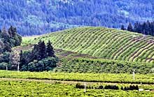
Known as the largest pear growing region in America, Hood River Valley also produces sweet cherries, a wide variety of apples and grapes. Unable to compete with foreign fruit imports, valley farmers have made a shift to agritoursim. Oregon has added this picturesque valley to their scenic byway tour routes. The Mount Hood Scenic Byway follows the Hood River through a patchwork of farms and friendly small towns.  Affectionately called the Fruit Loop, a 35 mile trail follows routes 35 and 281. The tour begins at the town of Mount Hood and leads by pumpkin patches, vineyards, and lavender fields. Plenty of stops along the highway offer samples of fresh fruit, candy apples, pies, local wines, farm tours and country stores. Plenty of area festivals celebrate the summer fruit harvest. During the autumn the season the last tourists enjoy colorful foliage throughout the valley.
Fruit Loop Byway Map

|
More Area Attractions |
|
Copyright © 2022 Benjamin Prepelka
All Rights Reserved
