|
Scenic USA - Alabama Sipsey Wilderness |

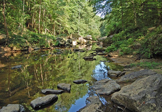
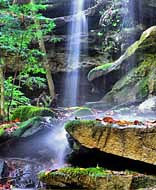
| Photo by Ben Prepelka Inset photo by Anthony Poston |
Often called land of a thousand waterfalls, the William B. Bankhead National Forest is Alabama's largest. Those unfamiliar with Alabama's scenic wonders may be surprised at the size of this 100,000 acre forest, and more so, a land with so many waterfalls.
Located within the Bankhead National Forest, a 25,000 acre parcel makes up the Sipsey Wilderness, the second largest wilderness land east of the Mississippi River. This remote wilderness area boasts a 95 mile trail system and the 60 mile long West Fork of the Sipsey River. This Wild and Scenic River (once called the Black Warrior River) offers a variety of recreation ideas.  Along with hiking, this section of Alabama’s wild outdoors is great for backcountry camping, photography, fishing, canoeing, hunting and kayaking. Sliced up by a maze of tributaries, the Sipsey Wilderness abounds with natural canyons, wild flowing creeks, waterfalls, and limestone bluffs. Native Americans have also contributed to the lure of the Sipsey area. A few locations outside the wilderness boundaries are decorated with prehistoric drawings, rock carvings and petroglyphs.
North of Double Springs, Route 33 leads into the Bankhead National Forest. Following County Road 60 to the west, trailheads and access points lead into the Sipsey Wilderness. One of a few stops that is easily found is Sipsey River Picnic Area. This popular stop leads to one of the most popular waterfalls sites. Foot Trail 200 leads northward along the Sipsey River for almost a half mile, where FT 209 branches off to Falls Creek Falls.
Area Map
Wilderness Maps

|
Nearby Points of Interest |
Scenic USA Prints from
|
Copyright © 2020 Benjamin Prepelka
All Rights Reserved

