|
Scenic USA - Michigan Great Sand Bay |

| Photos by Ben Prepelka Ben Prepelka Photography |
Once a bustling peninsula of nearly 100,000 people, Michigan's  Keweenaw County was heavily prized by the mining industry for its copper deposits. Today, this sparsely populated Upper Peninsula county relies on heritage tourism, plus its natural beauty and 95 miles of Lake Superior coastline.
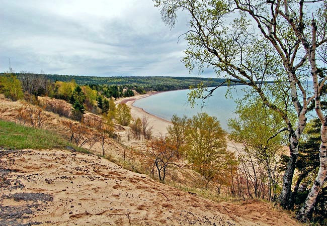
M-26 and U.S. 41 provide the main access routes for this peninsula and dozens of viewpoints of the largest freshwater lake on Earth. Between Five Mile Point and the tip of the Keweenaw Peninsula at Copper Harbor, M-26 follows the coastline. The highway mirrors a hilly bluff line, offering patchy views of the great lake. Centered between Eagle Harbor and Eagle River, M-26 travelers follow a huge sweeping curve around the Great Sand Bay.  Locally known as Sand Dune Drive, the highway overlooks one of the largest stretches of sand beach on the Keweenaw Peninsula.
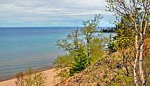
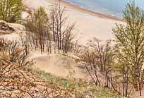
Funded through a grant program, Michigan's DOT recently completed a new roadside overlook at Great Sand Bay. Covering nearly a mile, public beach access provides a great spot for sunbathing, swimming and building sand castles. A wide sand bar forms a shallow drop off, where the sun is able to warm the chilly waters of Lake Superior. Here the beach is backed-up against mammoth sand dunes that are covered in a red pine forest and lush greenery. Even if you hadn't planned for a swim, this immense sand dune and bay summon Keweenaw visitors to stop and take a look.
Area Map

|
Additional Points of Interest |
Scenic USA Prints from
|
Copyright © 2020 Benjamin Prepelka
All Rights Reserved

