|
Scenic USA - Pennsylvania Worlds End State Park |

| Photos by Marty Straub Marty Straub Photography |
In the Northeast Mountains Region of Pennsylvania there's a bare spot on the map where Wyoming, Sullivan and Bradford counties join together.  Here on the western edge of the Endless Mountains only a few major roads criss-cross the area, while the Susquehanna River to the northeast does its best impression of a 50 mile long slithering snake. This is the extra-rugged territory of the Worlds End.
Surrounded by the Loyalsock State Forest, a vast sea of mountain ridges and impressive canyons inspired the name Worlds End. Here, seven mountain ranges converge on a point, giving the area's early residents the feeling of being at the ends of  the earth. Worlds End appeared on a map in 1872, but other names, such as Whirls Glen and Whirls End, were the fuel for an ongoing dispute over the park's name. The name was changed to Worlds End State Forest Park in 1943, hoping to put an end to all the debate.
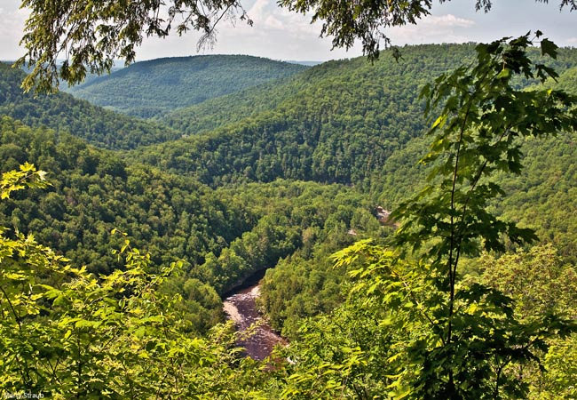
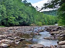
The park is located within the Allegheny Plateau and the Sullivan Highlands. Loyalsock Creek, a S-shaped river corridor, runs through the park and offers a cool swimming area, whitewater boating and miles of trout fishing opportunities. Hiking trails range from easy to rugged. This view from the High Rock Vista, catches a glimpse of the S-turns of the Loyalsock. Summer days in June bring out delicate wildflowers, especially mountain laurel, adding color among the greenery on the trail. Nearby the town of Forksville, Worlds End State Park is not that far from civilization and only 35 miles from Interstate 180.
Area Map

|
Nearby Points of Interest |
|
Copyright © 2020 Benjamin Prepelka
All Rights Reserved
