|
Scenic USA - Washington Palouse Country |

| Photos by Jim Stiles Jim Stiles Photography |
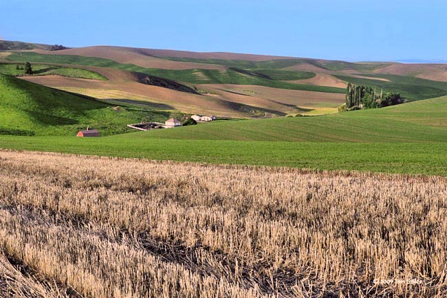
This farmland scene of the Palouse is quite different  from Washington State's mainstream tourist circuit of snow-capped mountain peaks and a coastline of sea-stacks. Creating a splendid contrast to the west, the Palouse Region not only covers eastern Washington, but also a large portion of northwestern Idaho. Found south of Spokane, this farmland extends over 3000 square miles around the Palouse River. The odd name is thought to have evolved from French trappers and their word meaning land with thick, short grass. Little more than a hundred years ago this prairie land, found mostly treeless, was covered in a mix of perennial grasses. Coinciding with the arrival of the Great Northern Railroad, thousands of farmers fanned out across these fertile lands. By 1890, sod-busters quickly turned the grassland into farmland, planting nearly every
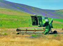
  acre with wheat. Early farms were extremely labor intensive, with each plot employing hundreds of men and horses during spring planting and fall harvest. These broad rolling hills and steep slopes delayed mechanization, lagging as much as 20 years behind mainstream America. Today, more than 95 percent of the area supports agriculture with major crops of winter wheat, lentils and rapeseed.
From a high point on these picturesque hills, one finds a deep appreciation of the land's immensity. Here the Palouse is cultivated in contouring stripes and striking patterns that seem to spread out forever. Sightseers may find these dramatic views over Washington's Palouse Scenic Byway, one of the state's 23 scenic byway routes.
Area Map
Byway Map

|
Additional Area Attractions |
|
Copyright © 2021 Benjamin Prepelka
All Rights Reserved
