|
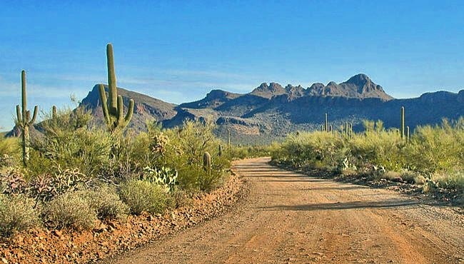
Scenic USA - Arizona Golden Gate Road |

| Photo by Erik Slotboom |
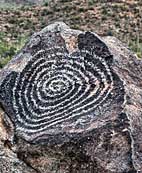
Arizona's Saguaro National Park, split by the city of Tucson, is distinguished by east and west districts. Although the east section holds much more territory, there are more access roads through the west. Pictured here is a desert scene in West Saguaro from Golden Gate Road that ushers visitors  in from the north and Picture Rocks Road. Golden Gate Road heads toward the scenic, six mile Bajada Loop Drive. Foot trails in the west district vary from the very easy to lengthy all day hikes through the Red Hills and Tucson Mountains. Two short trails, Valley View and Signal Hill, are great for those visitors that wilt in the summer heat. Signal Hill trail leads out from the picnic area, across a small wash and up around the hill. The rocky outcroppings there are decorated with ancient art work.
Saguaro East seems set up for the serious backcountry adventurer. Nearly 130 miles of trails crisscross through the Sonoran Desert. The east district's Cactus Forest Drive takes in only eight miles of scenic desert.
Both park sections offer an array of desert plants and animals. Plants range from the saguaro icon of the southwest, to the cholla, creosote bush, iron wood and acacia. The long list of desert animals include the javelina, kangaroo rat and the Gila monster. The desert is home to a large population of birds, and in daylight hours the Gila woodpecker and cactus wren are easy to spot.
Area Map

|
More Area Attractions |
|
Copyright © 2025 Benjamin Prepelka
All Rights Reserved
