|
Scenic USA - Louisiana Fontainebleau State Park |

| Photos by Ben Prepelka Ben Prepelka Photography |
During Hurricane Katrina, news crews introduced the remainder of Americans to the geography of New Orleans and Lake Pontchartrain. Since the days of Katrina, floodwaters have disappeared, extensive damage assessed, and thousands of damaged homes repaired.
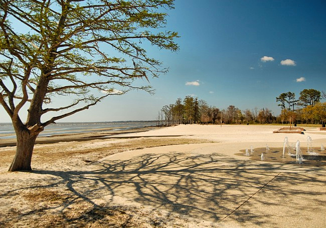
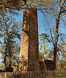
 On the north shore of Lake Pontchartrain, the 2800 acre Fontainebleau State Park has dried, its century old grove of oaks remain unscathed, and the crumbling ruins of the Mandeville Sugar Mill still keep first time visitors guessing.
The sugar mill, brick kiln and plantation date back to 1829 when Bernard de Marigny de Mandeville first developed the area. Named after a beautiful forest near Paris,  France, the Louisiana Fontainebleau Plantation prospered for 23 years. Although Marigny lived in New Orleans, he spent much of his time at Fontainebleau where cool breezes swept across Lake Pontchartrain.
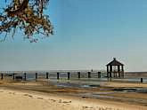
The park’s clear lake waters, sandy beaches, cool nature trails and a rail-to-trail pathway offer plenty of outdoor recreation. A converted railway that runs through the park, Tammany Trace, makes the perfect route for cyclists, hikers and skaters. A dozen lakeside cabins, fully restored after damaged by a passing hurricane, offer great views of Lake Pontchartrain.
Area Map

|
Additional Area Attractions |
Scenic USA Prints from
|
Copyright © 2020 Benjamin Prepelka
All Rights Reserved

