|
Scenic USA - Nevada Hawes Station |

| Photos by Gary O'Toole |
Initially used by Howard Egan to move cattle between Salt Lake City and California, traces of the historic Carson Trail (Carson Route) are still visible today. Undaunted by Nevada's mountainous landscape, Egan discovered a line of mountain passes and precious mountain springs almost in a direct line across the state. Known by many names, this Central Overland Trail (Carson Trail) was almost 280 miles shorter than the California Trail that followed the Humboldt River.
Stage lines, freight deliveries and the Pony Express all began using the Central Overland Route. The Butterfield Overland Stage Line moved passengers and mail westward, achieving speeds of three to five miles per hour. Over 100 way stations and relay posts were set up all along the route, feeding passengers and stage hands twice a day and changing out the team of horses.

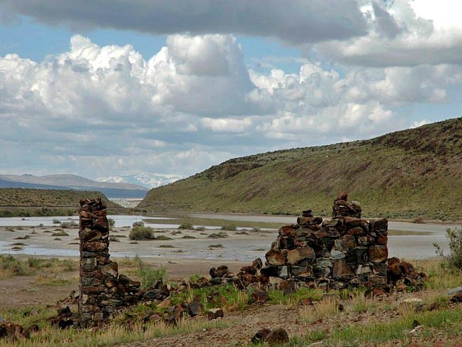
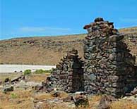
Hawes Station was built in 1851 by Willard Gates, taking advantage of a gap in the mountains where Carson Route emigrants soon discovered its advantages. Many of these wagon train way-stations continued to support the Overland Mail and Stage route. Remnants of Hawes (Haws) Station, pictured here, can still be found alongside U.S. Route 50, Americaís loneliest highway. Located just to the north of the highway and beyond an alkali bed, stone walls and remnants of the stationís foundation have survived Nevadaís desert extremes. Without trees for lumber, the way station, its storerooms, grain room and corral were all built with abundant native stone. Serving the white man for decades, until the Transcontinental Railroad arrived, the way-station was seen as open wound in Indian territory. Paiute war parties, Wovoka's Ghost Dance, and a deep hatred did little to stop the advancing white man.
Area Map

|
Additional Area Attractions |
|
Copyright © 2020 Benjamin Prepelka
All Rights Reserved
