|
Scenic USA - California Mount Whitney |

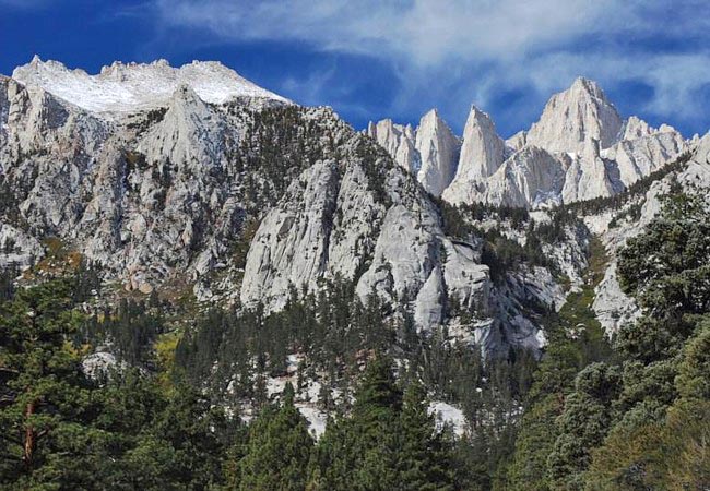
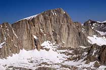
| Photo by Ken Reece Inset photo Jack Brauer |
During prime season, a fixed number of hiking permits trims almost 90 percent of the traffic to California’s highest peak. An extremely popular challenge, Mount Whitney is not only the highest peak in the Sierra Nevada Range, but at 14,505 feet, it’s the tallest in the Lower 48. Although it's surrounded by a few menacing peaks, the Mount Whitney climb is not considered technical. Its well marked trails see plenty of first time peak baggers drop out, never reaching their goal. Altitude sickness, dehydration, and changes in weather are some of the main factors that stall many attempts to the top.
From Lone Pine, Whitney Portal Road leads up to the Mount Whitney Trailhead.  Here, plenty of visitors crowd the parking lot to get a glimpse of the Big One! Its jagged peaks are easy to spot once you located the forefront Portal. At the trailhead, hikers are already at 8300 feet in elevation. Staying over at the Portal campground allows climbers time to adjust to the thinner air. During the 22 mile roundtrip, springtime climbers may encounter icy conditions. During the summer, hikers must still prepare for significant temperature changes, and an ever diminishing atmosphere. All climbers should be familiar with a recurring theme of conduct standards, climbing safety, and wilderness tips and requirements.
Area Map

|
Additional Area Attractions |
|
Copyright © 2022 Benjamin Prepelka
All Rights Reserved
