|
Scenic USA - North Carolina Pea Island, Outer Banks |

| Photos by Ben Prepelka Ben Prepelka Photography |
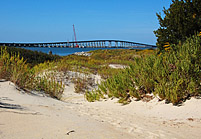
During an Atlantic hurricane in 1848, the fierce storm swept across the Outer Banks at Bodie Island separating it in two.  The Oregon rode out the storm in Pamlico Sound and was first to report the new inlet. A ferry service was set up to bridge the gap to the Pea Island, handling peak traffic of 2000 people a day. Long lines and the ferry's high cost prompted state officials to seek funds for a bridge. The Herbert C. Bonner Bridge, spanning the two and a half mile gap, was completed in 1963.

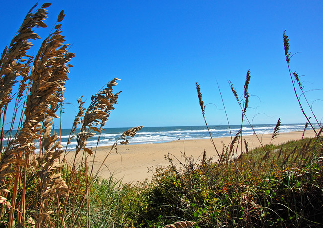
With easy access provided by the Oregon Inlet bridge, visitors flocked to the Pea Island Wildlife Refuge. Known as a birder's paradise today, this barrier island is haven for over 365 bird species. The 6000 acre refuge provides 1000 acres of waterfowl impoundments and two all-year wildlife  trails, which are maintained by Friends of Pea Island NWR. Established in 1937, the refuge also provides 13 miles of solitary beach, a pristine habitat for piping plovers, loggerhead turtles, bald eagles and peregrine falcons. The refuge is a popular stop along a 150 mile long string of Outer Banks barrier islands.
When the Bonner Bridge was designed, little did anyone realize the nature of the shifting sands in the inlet. Moving about 65 feet every year, the channel has moved over two miles since it was first created. Heading the list of unsafe bridges in the state, the Oregon Inlet Bridge had to go. The bridge was officially replaced in 2019 when the long-awaited Marc Basnight Bridge opened after years of design and construction. The huge structure utilizes nine 350-foot spans, designed to accommodate the ever changing position of the Oregon Inlet channel. The Bonner Bridge is now a fishing pier.
Refuge Map
Area Map

|
Nearby Points of Interest |
Scenic USA Prints from
|
Copyright © 2022 Benjamin Prepelka
All Rights Reserved

