|
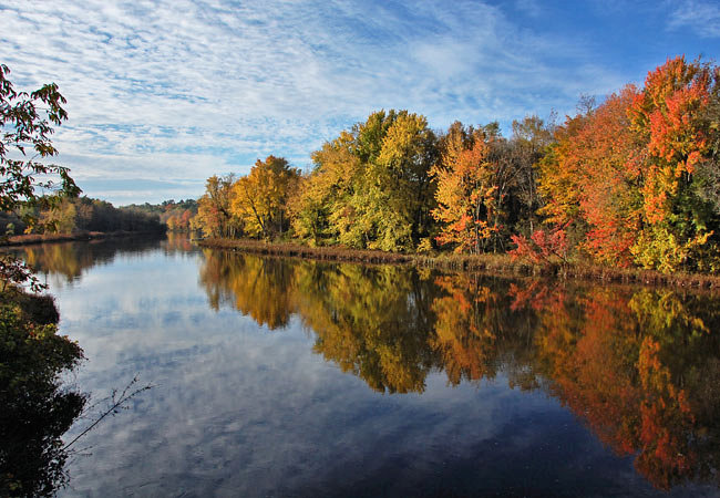
Scenic USA - Vermont Otter Creek |

| Photos by Ben Prepelka Ben Prepelka Photography |
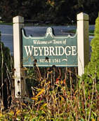
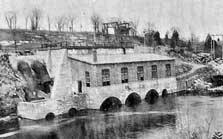
Otter Creek, bearing the misleading term creek, is the longest and one of the largest rivers in Vermont. Flowing down from Mount Tabor in the Green Mountains, the river begins in a south-westerly direction before making an abrupt turn northward through Emerald Lake.  The river passes a dozen communities before it flows into Lake Champlain. Known as La Riviere Aux Loutros to the French, early French influences are still recognizable in the state today. Just a few miles north of Middlebury is the city of Vergennes. Located at Otter Creek's first falls, Vergennes was charted in 1778, becoming the third incorporated city in all of New England. Here just above the second falls, the tranquil Otter Creek separates the towns of Weybridge and Middlebury. The waterfall was harnessed for power in 1793, turning the huge blade of the first sawmill in Weybridge. Various mills followed and it was common to see Otter Creek jammed with floating logs. A large scale paper mill turned the logs into chips, following with steam and chemicals to separate and clean the cellulose fibers.
  Fed through heated rollers, the fibers were matted together and wound into huge rolls of paper.
Today it's pretty quiet on Otter Creek. While log jams are scenes from the past, canoes and kayaks have taken their place. You may also spot a few groups of students along the banks. The Trail Around Middlebury (TAM) is an outdoor classroom for area residents and schoolkids. Riverside recreation trails provide access to wooded areas where local plants and animals are the subjects of environmental study. College students continue their education on the TAM and learn of environmental stewardship and trail design. The TAM, connecting the Otter Creek Gorge Preserve to the Battell Woods, is a wonderful way to enjoy Vermont's outdoors.
TAM Map - Otter Creek

|
Nearby Points of Interest |
Scenic USA Prints from
|
Copyright © 2022 Benjamin Prepelka
All Rights Reserved

