|
Scenic USA - Utah Needles District |

| Photos by Ben Prepelka Ben Prepelka Photography |
A map view of Canyonlands shows four sections of this national park  distinctly outline by deep canyons of the Colorado and Green rivers. It's safe to say these rivers are not easily crossed ... so, visitors have a some distances to cover if they would like to see the entire Canyonlands National Park. The easiest to enjoy is Island in the Sky in the northern district, mostly covered by paved access roads. In a distinct contrast, The Maze is only supported by unpaved, four-wheeling routes and hiking trails. The Needles District, taking up the southeast part of the park, offers a mix of paved roads and hiking trail opportunities. Horseshoe Canyon
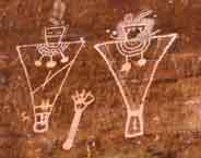
  is a small unit, about a 2.5 hour drive from Moab and offers hiking opportunities. The access road is over a 30 mile graded dirt road from UT-24 or a longer gravel road from Geen River. The site offers a look at one of the most significant rock art panels in North America, preserving life-sized figures. This seven mile hike (R/T) can be dangerously hot in summer!
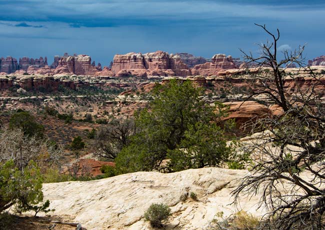
The Needles Section is named after its most distinguishing feature, a myriad of spires seen for miles along the park's southern border. This southern section is laced with over 60 miles of interconnecting trails and plenty of highlights to explore. Canyon overlooks, natural arches, slickrock benches, mesa tops and prehistoric rock art panels are among the district's most prominent features. But it's the Needles themselves that attract the most attention. These unusual spires, made of layers of red and white sandstone, were deposited over a long period of time. After the entire Colorado Plateau rose thousands of feet, erosion took the lead part of natural artist. These dominate sandstone landforms are fine examples of the park's geology, where jointing, weathering and rock fractures continue to reshape the landscape. Unlike the powerful forces of the Green and Colorado rivers, the processes of erosion in the Needles work a little slower, but continue to weather year after year.
Area Map
Needles District Map

|
More Area Attractions |
|
Copyright © 2020 Benjamin Prepelka
All Rights Reserved
