|
Scenic USA - Idaho Northwest Passage Byway |

| Photos by Ben Prepelka Ben Prepelka Photography Inset photos courtesy of the NPS and USFS |
Idaho's Northwest Passage Scenic Byway traces the footsteps of the Lewis and Clark Expedition as they searched for a route from the Missouri River to the mouth of the Columbia over 200 years ago.  This 200 mile byway follows Idaho's Route 13 and U.S. Route 12, from the Lolo Pass Visitor Center, near the Montana border, to Lewiston in the west. Route 13 leaves Route 12 at Kooskia Crossing, leading byway travelers on a short side trip to the Camas Prairie and the town of Grangeville. At Eimers Park, byway travelers will find an ancient Tolo Lake mammoth, a site at the Nez Perce National Historical Park and White Bird Battlefield.
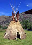
At the west end of the byway, visitors will enjoy a beautiful setting on the Snake River at Hells Gate State Park, and the gateway to one of America's deepest gorges. Eastward, a little side trip to the Nez Northern Perce National Historical Park at Spaulding presents byway guests with displays of both contemporary and historic Nez Perce cultures.
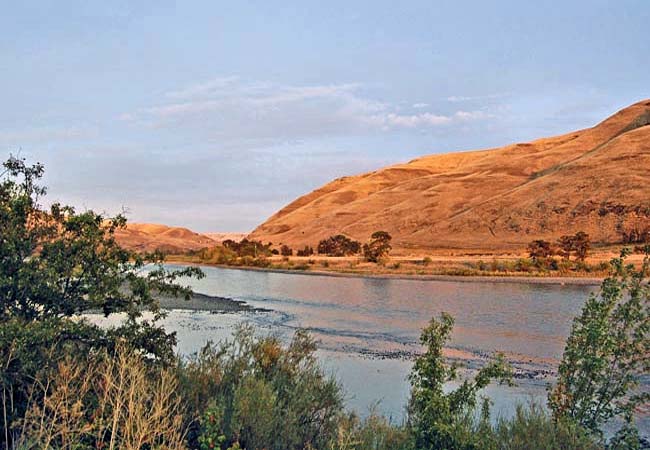
Continuing eastward along the Clearwater River, byway travelers find where Lewis and Clark spent six weeks in 1806. This late afternoon view captures the Clearwater near the Kamiah Riverfront Park were  an interpretive kiosk describes the expedition's stay at Long Camp. Here, expedition members, longing to get home, waited three weeks for the snow to melt in the Bitterroot Mountains.
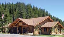
Further to the east, the Northwest Passage Byway passes both the Fenn and Lochsa Ranger stations built in the early 1900s. The byway ends at the Lolo Pass Visitor Center, the eastern gateway for guests entering from Montana. Here at the visitor center, travelers are introduced to Nez Perce, and the historic expedition of Lewis and Clark.
Byway Map

|
More Area Attractions |
|
Copyright © 2022 Benjamin Prepelka
All Rights Reserved
