|
Scenic USA - Utah Bryce Canyon-Under The Rim |

| Photos by Ben Prepelka Ben Prepelka Photography |
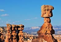
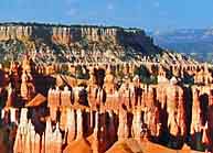
Taking up a tiny section of the immense Colorado Plateau, where its range covers nearly 140,000 square miles in the Four Corners Region, Bryce Canyon National Park is one of the exceptional national parks in southwestern Utah.  Here a series of amphitheaters and canyons stretch out along the edge of the Paunsaugunt Plateau, easily enjoyed from a dozen or more overlooks along the 18 mile long Rim Drive. From these vantage points park visitors can easily appreciate this diverse mix of barren desertland and forests of aspen and evergreens. Here along the cliffsides in a fairyland of eerie hoodoos, countless rock pillars, columns, tall ridges called fins, and highly eroded spires attract the most attention. All that witness these majestic mountainsides for the first time are forever captured under a spell ... a remarkable experience of beauty never to be forgotten.
Carved by the Paria River and its many tributaries long ago, this colorful parkland was first preserved by a proclamation issued from the desk of President Warren G. Harding in 1923. Legislation established the land as a national park, and was finally named Bryce Canyon National Park in 1928.  Ebenezer and Mary Bryce, leading to the park's name, moved into the Paria Valley in 1875 to harvest timber. Local residents casually referred to the area behind his home as Bryce Canyon. Even though the park doesn't actually center around an actual canyon, the Bryce Canyon name was extended to the entire park.
While the beauty of Bryce Canyon National Park can be enjoyed throughout the length of the Rim Drive, many of the park's visitors drop below the rim and walk among this fairyland of haunting rock statues. Starting before the park's visitor center at Fairyland Point (which many park visitors miss) the Rim Trail follows the park road to Bryce Point. From there, the Under the Rim Trail continues along the Pink Cliffs to the end of the park at Yovimpa Point. Park guests don't have to tackle the entire Under the Rim Trail, as eight different day trails are all inter-connected and provide a fantastic experience among this labyrinth of colorful sandstone hoodoos. Elevations of the park range from 6000 to 9100 feet and may test your physical condition. As many intriguing pathways call from below, remember the return trip may be quite demanding.
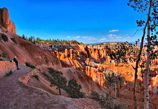
At Sunrise Point, the Queen's Garden Trail is a short hike down to Bryce Creek, a good test to see if your aspirations match your conditioning.  Other short hikes include Sunrise to Sunset points and the Bristle Cone Loop. Moderate hikes, among 50 miles of trails, include the two mile Hat Shop Trail (passing beneath top hats and Easter bonnets), the Navajo Loop (main photo) and Sheep Creek-Swamp Canyon loop.
During the 1870s, when Native Paiutes lived throughout the region, explorers Captain Clarence E. Dutton and John Wesley Powell gave many of the park's features their names. Other obvious Indian names were derived from the Paiute language. While many of these main park features are best experienced on foot, for those seeking a tamer park experience will find that park rangers offer many interpretive programs. Detailed geology talks, hiking details, tips on safety, full moon hikes, astronomy programs and overnight backpacking trip permits all begin with a stop at the Bryce Canyon Visitor Center.
Area Map - Bryce Canyon City

|
Additional Area Attractions |
|
Copyright © 2022 Benjamin Prepelka
All Rights Reserved
