|
Scenic USA - Indiana Cataract Falls SRA |

| Photos by Ben Prepelka Ben Prepelka Photography |
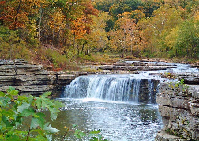
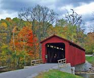
The town of Cataract appears as a small dot on the Hoosier State road map, found about 30 miles  southwest of the huge metro area around the state capitol in Indianapolis. A prominent feature, just north of Cataract is a teardrop shaped body of water, Cagles Mill Lake. Mill Creek (Eel River) flows toward to the lake through Cataract Falls State Recreation Area. The 37 acre plot holds Indiana's largest waterfalls (upper and lower falls), the Little Sister Falls, and a recently refurbished covered bridge, circa 1876. The covered bridge, following a Smith’s High Double Wood Truss design, adds another colorful sight in the park.
The Cataract Falls SRA is a popular picnic area where park visitors are able to overlook the waterfalls, a wonderful and thunderous backdrop. The upper and lower falls are connected by a hiking trail, following the riverbank for a half mile. For those not up for a hike, a park road connects the two waterfalls. The Owen County recreation area is nearby Cloverdale and Interstate 70.
Area Map

|
Additional Area Attractions |
Scenic USA Prints from
|
Copyright © 2022 Benjamin Prepelka
All Rights Reserved

