|
Scenic USA - Utah Hells Backbone |

| Photos by Ron McEwen |
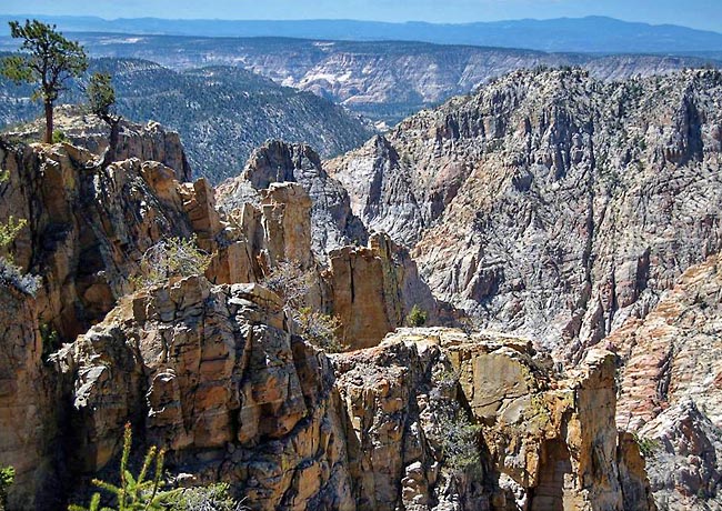
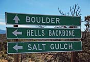
Before setting out into  the Escalante District of the Dixie National Forest, a roadmap offers a few clues about sightseeing in this canyonlands area. The chilling names, Death Hollow Wilderness and Hell's Backbone are enough to scare off any timid adventurers. Here on scenic Route 12, backcountry sightseers will find some of Utah's most thrilling miles
  while passing through the Escalante Canyon and over the crest of Hogback Ridge. Here, travelers will be riding across the mountaintops with shear drop-offs on each side.
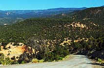
Just north of the Hogback and south of the town of Boulder, a dirt and gravel road starts off through a wilderness area and the Escalante Ranger District. Curious explorers will pass spectacular views of the gorges in Death Hollow Canyon. Built in 1933, Civilian Conservation Corps (CCC) crews connected the town of Boulder to Escalante with Hell's Backbone Road.
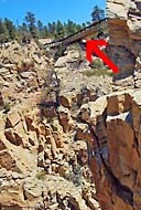
Settling into Blue Spring Ridge Camp (FS-18) on Escalante Mountain  in the summer of 1933, CCC crews established a roadway around the mountain, bridged the 800 foot deep Death Hollow Canyon with Hell's Backbone Bridge and linked the two towns by September. Today, the 1930s wooden bridge has been replaced with a modern steel and concrete bridge, making the crossing a little less frightening. But, back in the day, winter snows made the road impassible and residents reverted back to using wagons or pack horses through the lower canyons. It wasn't until 1940 that an all season road linked the two towns, another CCC project which follows a similar course on today's Scenic Route 12.
Area Map

|
Nearby Points of Interest |
|
Copyright © 2022 Benjamin Prepelka
All Rights Reserved
