|
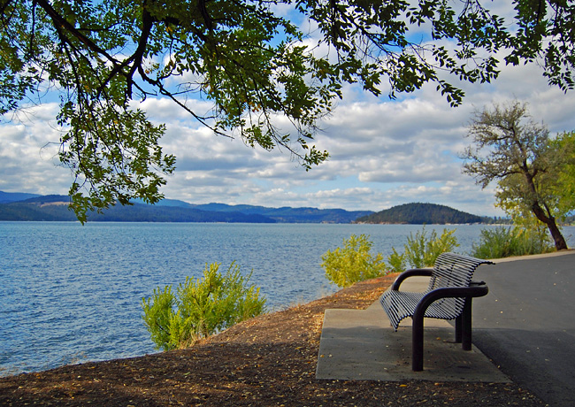
Scenic USA - Idaho Coeur d'Alene Lake Parkway |

| Photos by Ben Prepelka Ben Prepelka Photography |
Their name given by French Canadian fur traders in the early 1800s, the Coeur d'Alene Indians were found spread over five million acres surrounding Idaho’s Coeur d'Alene Lake, the Spokane River and the fertile Palouse prairie. Upon the discovery of silver in the region, various treaty agreements quickly reduced the tribe's range, leading to the Coeur d'Alene Reservation of today.
Once considered North America's largest area of silver-production, Coeur d'Alene has grown into Idaho’s second largest metropolitan area. One of the panhandle's most beautiful regions, bike trails and hiking paths are woven throughout the surrounding forest and provide a great way to explore the area. For those not up for a climb to Tubbs Hill, (where you’ll find some of the best views of Coeur d'Alene Lake) the Coeur d'Alene Lake Parkway follows the northern shore for a beautiful stretch of unhindered lakeside views.  Over a half-mile section of public shoreline parallels the parkway which features an exercise course, picnic tables, restroom facilities and plenty of lakeside benches. Walkers, hikers and bikers love this level pathway, and Coeur d'Alene Lake State Park is proud of their section of the North Idaho Centennial Trail. The well-kept park entices city residents to walk the shoreline, especially those that enjoy the water and the benefits of exercise. After an encouraging warm-up, perhaps the 120 acre preserve on Tubbs Hill is next.
Area Map

|
Nearby Points of Interest |
Scenic USA Prints from
|
Copyright © 2020 Benjamin Prepelka
All Rights Reserved

